A theoretical index linking precipitation and atmospheric evaporative demand explains historical land humidity changes across observations, reanalyses, and climate models.
Observations, reanalysis, and E3SMv3 experiments linked inter-annual variability of Congo Basin surface temperature to the zonal position of precipitation over the Indo-Pacific maritime continent region.
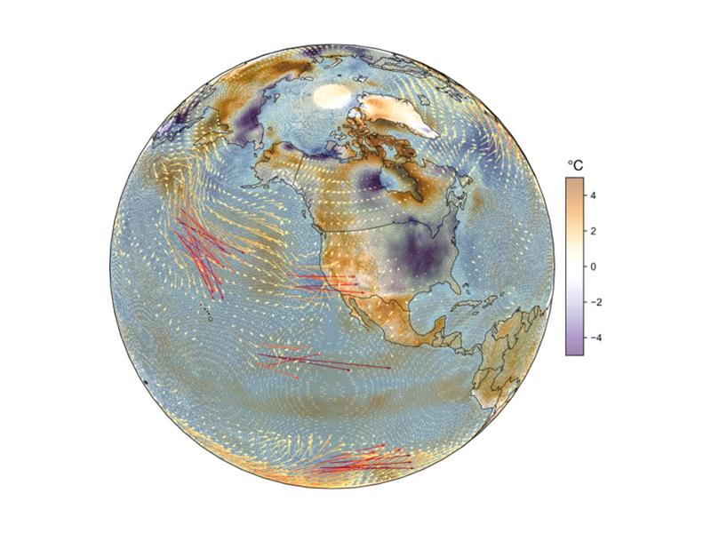
Quasi-stationary Rossby waves shape North American temperature extremes, but higher model resolution does not always improve their modeled representation.
Watershed-based representation discretized into topographic subgrid units better captured small-scale land cover, precipitation, temperature, and snow variability across multiple spatial scales.
Numerical simulations reveal how well-controlled wall temperature and moisture can generate a stratocumulus-like cloud top in a laboratory cloud chamber.
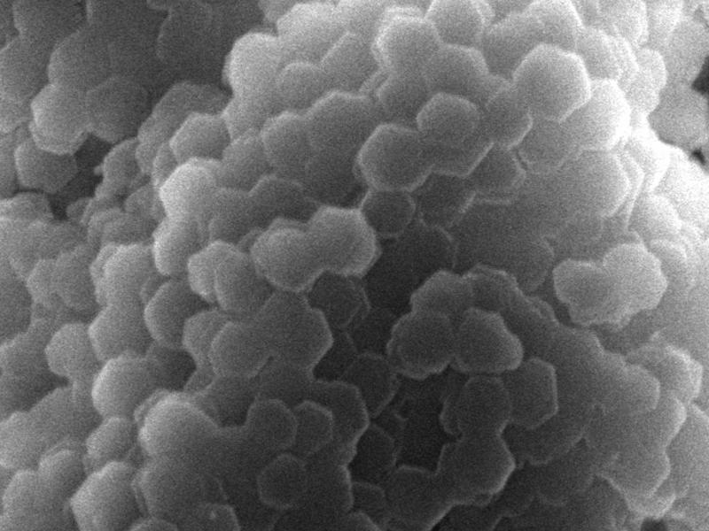
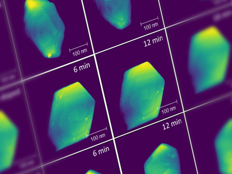
Using multiple specialized techniques, IDREAM researchers gained a better understanding of how trace impurities within gibbsite affect the hydrogen yield.
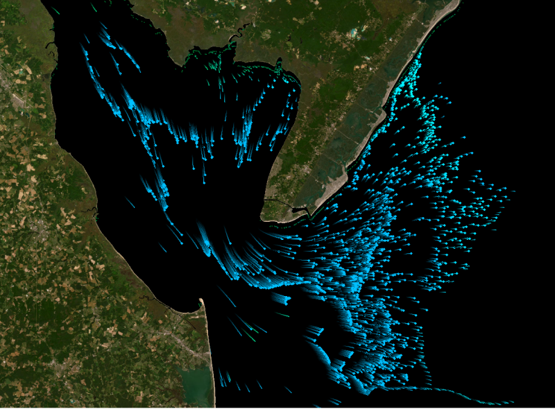
Tracking water age using a new precipitation tagging method within a hydrologic model generates key information to support hydropower energy and other water-dependent systems.
Distributed science is thriving at PNNL, where scientists share data and collaborate with researchers around the world to increase the impact of the work.
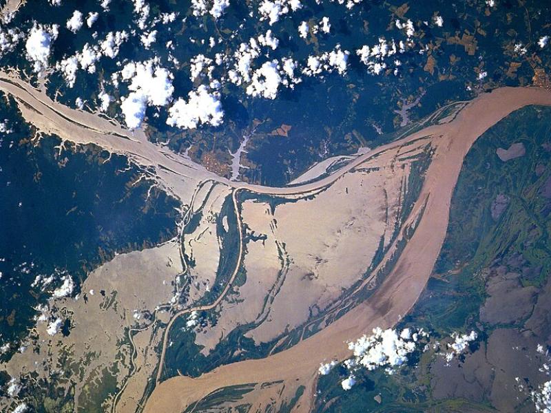
High-resolution hydrodynamic-sediment modeling shows that inundation, suspended sediment concentration in the Amazon River, and floodplain hydrodynamics drive sediment deposition in Amazonian floodplains.
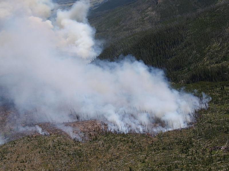
This study used historical data, remote sensing, and aquatic sensors to measure how far wildfire impacts propagated through the watershed after the 2022 Hermit’s Peak/Calf Canyon fire, New Mexico’s largest wildfire in history.