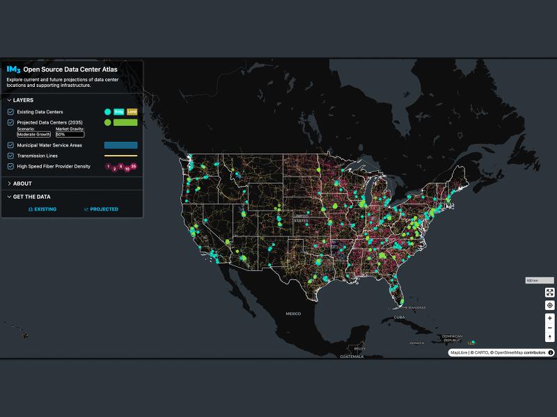
Now, anyone can easily explore and access data from a nationwide map of data centers, the infrastructure that powers them, and projections of future data center locations.
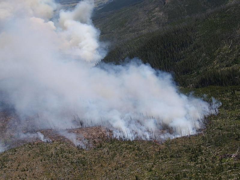
This study used historical data, remote sensing, and aquatic sensors to measure how far wildfire impacts propagated through the watershed after the 2022 Hermit’s Peak/Calf Canyon fire, New Mexico’s largest wildfire in history.
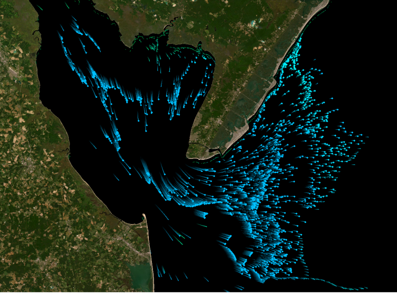
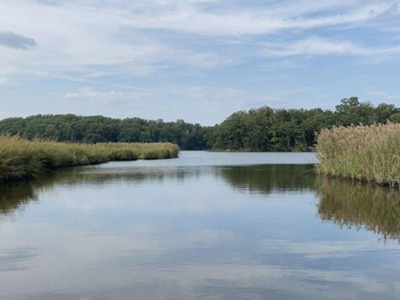
The Coastal Observations, Mechanisms, and Predictions Across Systems and Scales: Field, Measurements, and Experiments project established a network of observational field sites across Chesapeake Bay and western Lake Erie.
New datasets delineating global urban land support scientific research, application, and policy, but they can produce different results when applied to the same problem making it difficult for researchers to decide which to use.
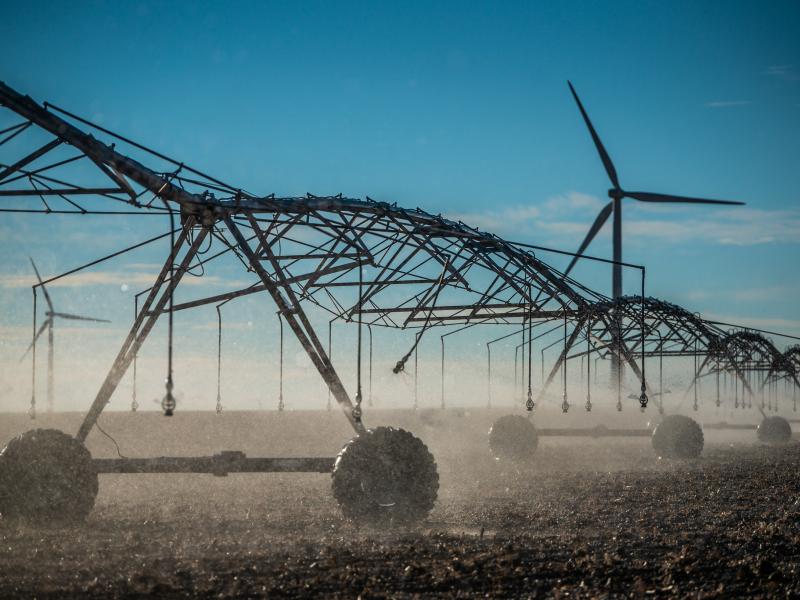
The demand for energy is growing—and so is the technology supporting it. However, future development of power generation technologies could be affected by a key factor: material supply.
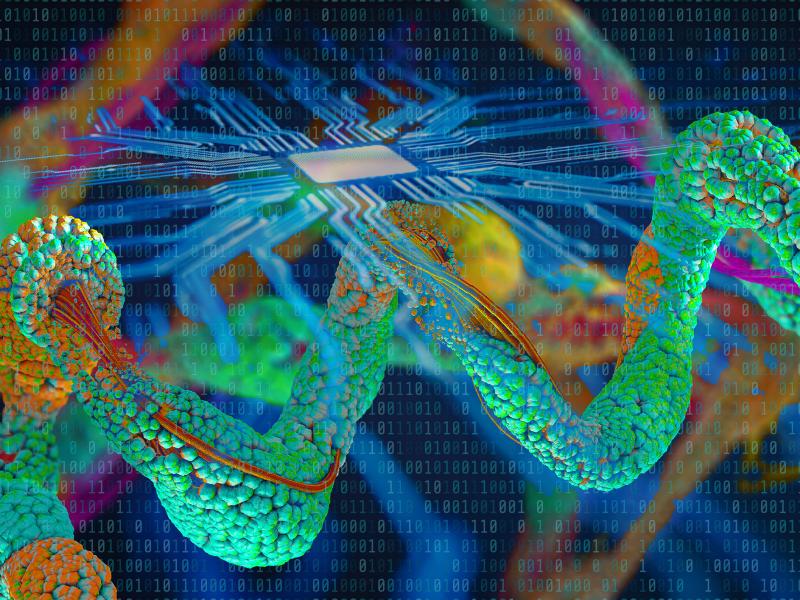
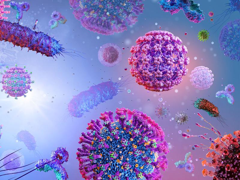
A compilation of soil viral genomes provides a comprehensive description of the soil virosphere, its potential to impact global biogeochemistry, and an open database for future investigations of soil viral ecology.
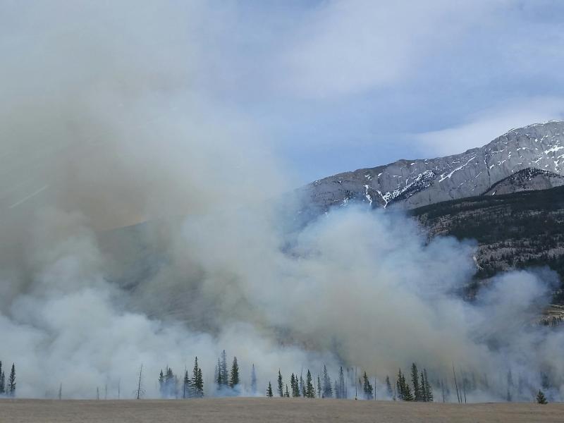
Researchers devised a quantitative and predictive understanding of the cloud chemistry of biomass-burning organic gases helping increase the understanding of wildfires.
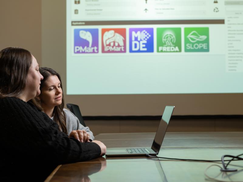
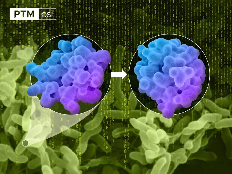
Spatial proteomics enables researchers to link protein measurements to features in the image of a tissue sample, which are lost using standard approaches.