Researchers at PNNL share a research- and practitioner-informed approach to assess the threat landscape, elicit and integrate feedback into solutions, and ultimately share outcomes with the emergency response and public safety community.
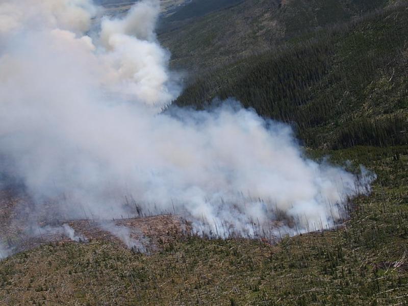
This study used historical data, remote sensing, and aquatic sensors to measure how far wildfire impacts propagated through the watershed after the 2022 Hermit’s Peak/Calf Canyon fire, New Mexico’s largest wildfire in history.
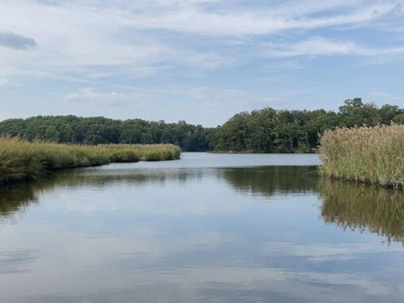
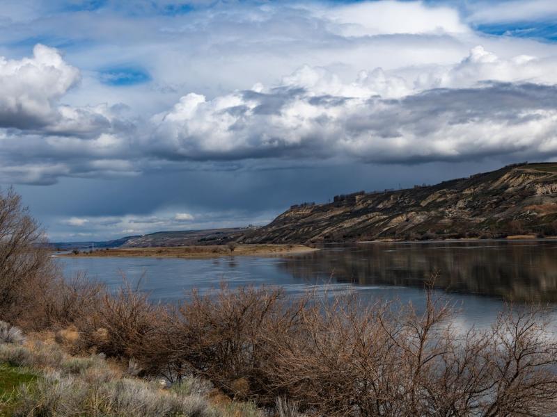
The Coastal Observations, Mechanisms, and Predictions Across Systems and Scales: Field, Measurements, and Experiments project established a network of observational field sites across Chesapeake Bay and western Lake Erie.
Two new publications provide emergency response agencies with critical insights into commercially available unmanned ground vehicles used for hazardous materials response.
PNNL researchers have published their paper, “Introducing Molecular Hypernetworks for Discovery in Multidimensional Metabolomics Data,” in the Journal of Proteome Research.
A team from PNNL contributed several articles to the Domestic Preparedness Journal showcasing recent efforts to explore the emergency management and artificial intelligence research and development landscape.
PNNL advisors joined a panel of Washington State emergency management personnel to discuss how partnerships with national laboratories are enabling science and technology solutions.
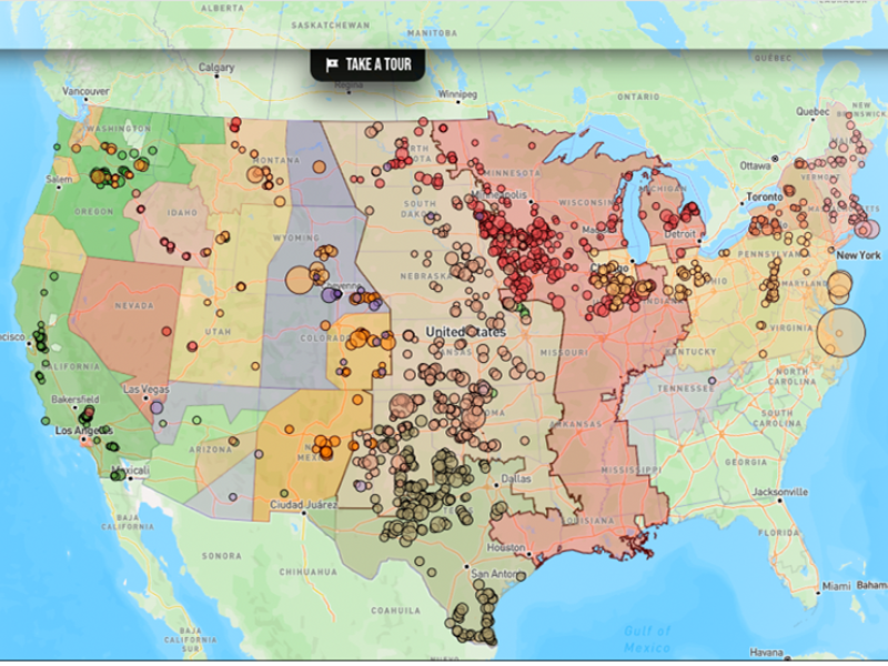
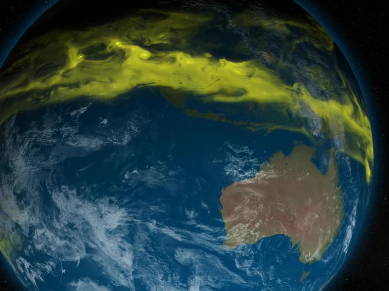
The diversity and function of organic matter in rivers at a large scale are influenced by factors, such as the types of vegetation covering the land, the energy characteristics, and the breakdown potential of the molecules.
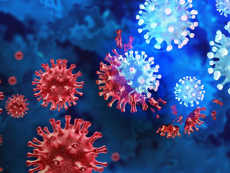
To thwart pathogens, researchers in the epidemiology field of infectious disease (ID) prediction are continuously trying to forecast when, where, and how an ID event will occur.
A new web-based tool provides easy-to-understand progress metrics and other data about groundwater cleanup sites overseen by the DOE Office of Environmental Management.