From developing new energy storage materials to revealing patterns of Earth’s complex systems, studies led by PNNL researchers are recognized for their innovation and influence.
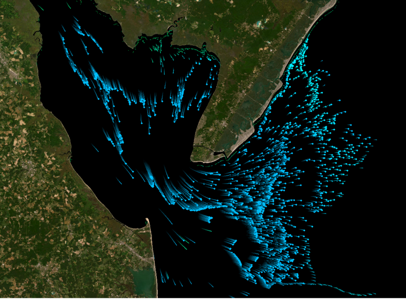
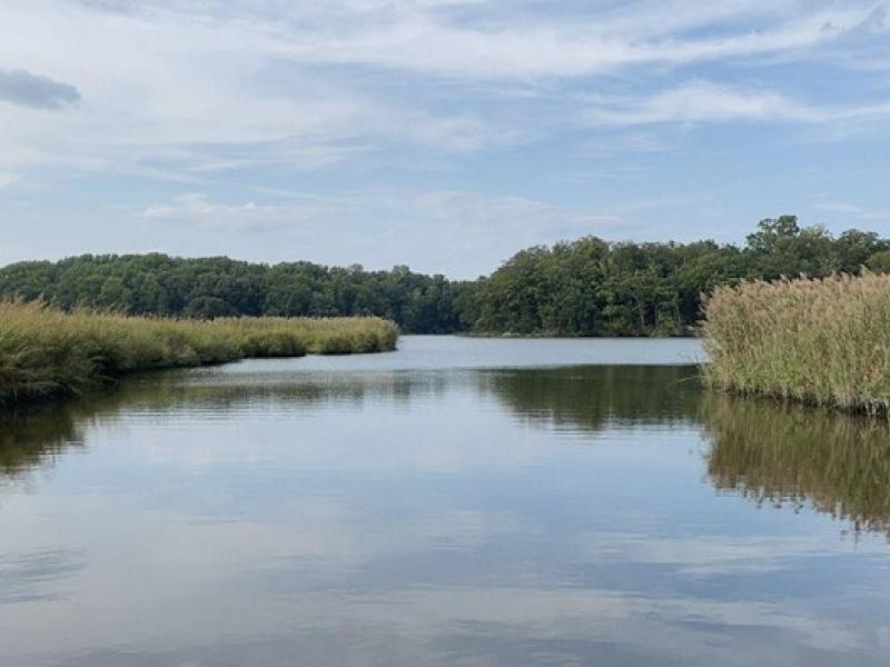
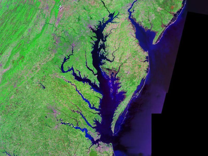
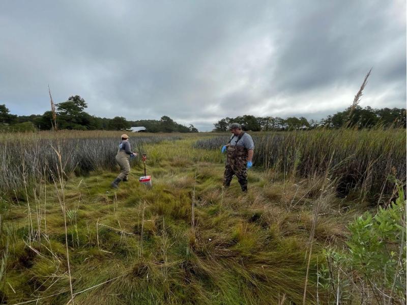
The Coastal Observations, Mechanisms, and Predictions Across Systems and Scales: Field, Measurements, and Experiments project established a network of observational field sites across Chesapeake Bay and western Lake Erie.
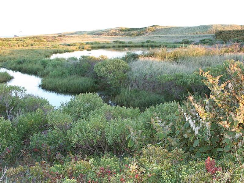
Due to their inherent variability and complexity over space and time, scientists are challenged to understand the complex interactions among soil, vegetation, and water along coastal terrestrial-aquatic interfaces.
Two new publications provide emergency response agencies with critical insights into commercially available unmanned ground vehicles used for hazardous materials response.
This study characterized above- and below-ground properties to explore the spatial heterogeneity of the terrestrial aquatic interface ecosystem within the Chesapeake Bay area and evaluate the major drivers of soil respiration.
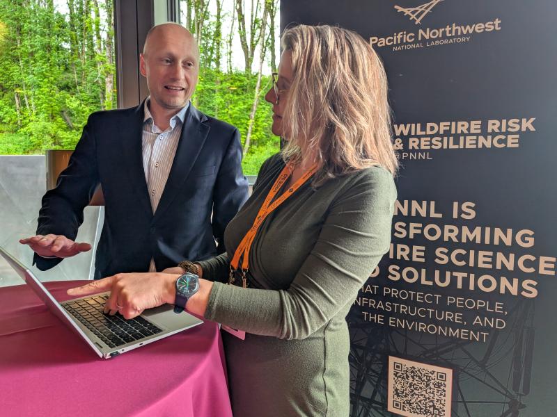
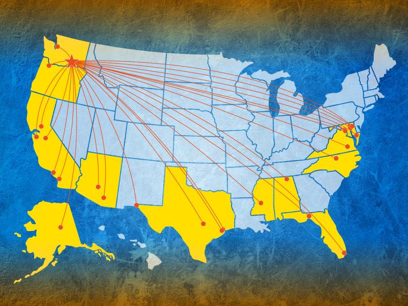
The Wildfire Mitigation Plan Database was built to support electric utilities, state governments, policymakers, and regulators in understanding and improving wildfire risk and resilience strategies.
This study evaluated the sensitivity of multiple geophysical methods to measure and evaluate the spatiotemporal variability of select soil properties across terrestrial–aquatic interfaces.
Researchers integrated field measurements, lab experiments, and model simulations to study oxygen consumption dynamics in soils along a coastal gradient.
This research explores how changes in groundwater levels affect the chemistry of underground water, especially in areas where land meets water, like wetlands.
The Grid Storage Launchpad dedication event was attended by leaders in grid and transportation energy storage, battery innovation, and industry stakeholders working to transform America’s energy system.
Erich Hsieh, Deputy Assistant Secretary for OE’s Energy Storage Division, shared insights about the Grid Storage Launchpad and energy storage innovations .
In the latest issue of the Domestic Preparedness Journal, Ashley Bradley and Kristin Omberg share how new research is shedding light on the scientific and technological challenges with detecting fentanyl.
Study explores Exploration of Coastal Hydrobiogeochemistry Across a Network of Gradients and Experiments, a consortium of scientists interested in the exchange between water and land in coastal systems.
PNNL advisors joined a panel of Washington State emergency management personnel to discuss how partnerships with national laboratories are enabling science and technology solutions.
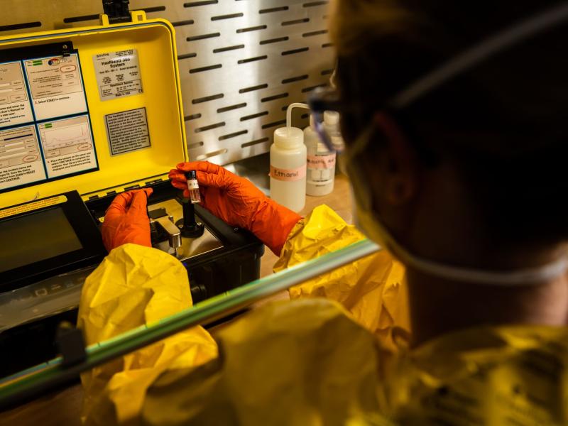
A new report highlights the results of an assessment PNNL conducted of field-portable detection products used by first responders to detect illicit substances like fentanyl in the field.