PNNL has developed a next-generation electrical resistivity tomography system for DOE that uses E4D software and AI-enhanced modeling to produce real-time subsurface images that help guide environmental remediation decisions.
Researchers at PNNL share a research- and practitioner-informed approach to assess the threat landscape, elicit and integrate feedback into solutions, and ultimately share outcomes with the emergency response and public safety community.
Distributed science is thriving at PNNL, where scientists share data and collaborate with researchers around the world to increase the impact of the work.
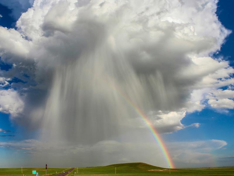
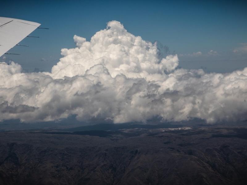
The ability of a storm-resolving weather model to predict the growth of storms over central Argentina was evaluated with data from the Clouds, Aerosols, and Complex Terrain Interactions (CACTI) field campaign in central Argentina.
Atmospheric aerosol particles modulate climate and the Earth’s energy balance by scattering and absorbing sunlight. They also seed clouds, acting as cloud condensation nuclei.
Two new publications provide emergency response agencies with critical insights into commercially available unmanned ground vehicles used for hazardous materials response.
Extensive in situ and remote sensing measurements were collected to address data gaps and better understand the interactions of convective clouds and the surrounding environment.
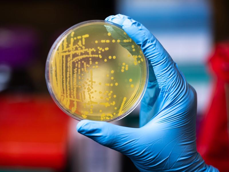
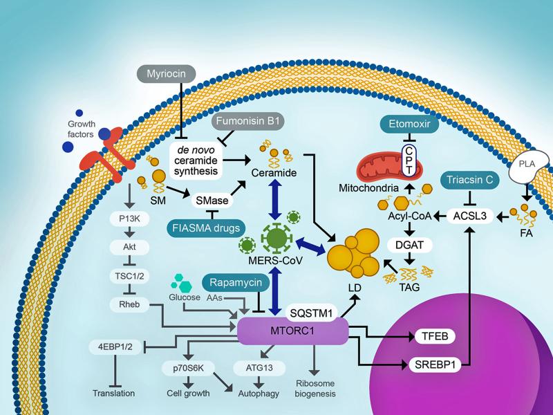
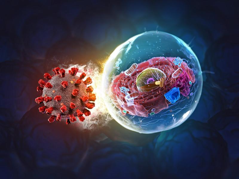
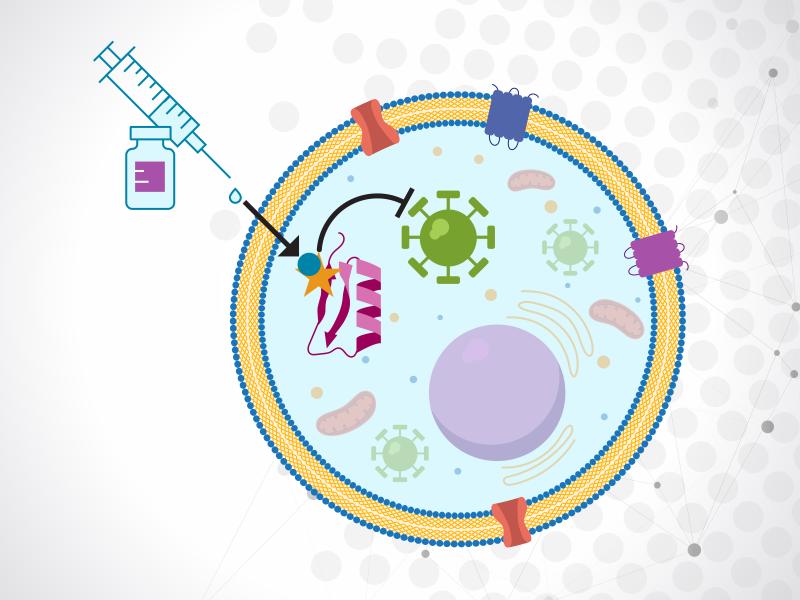
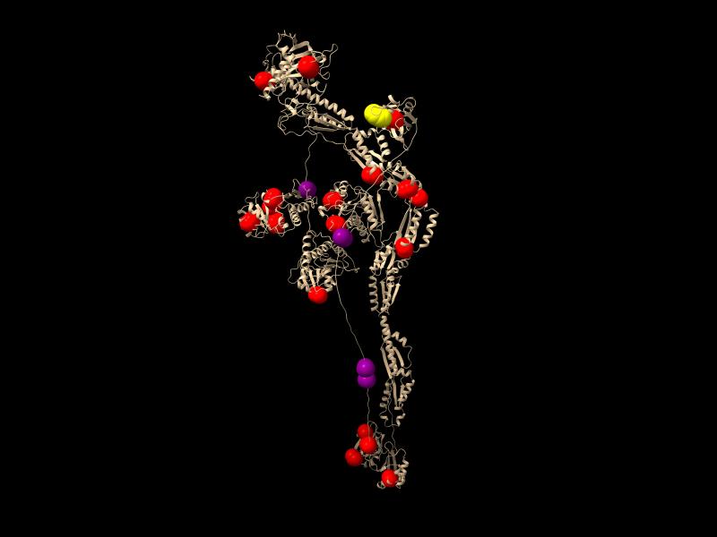
Continued studies will deepen scientists’ understanding of virus-host interactions at the molecular level and also pave the way for developing better drugs to fight emerging viruses.
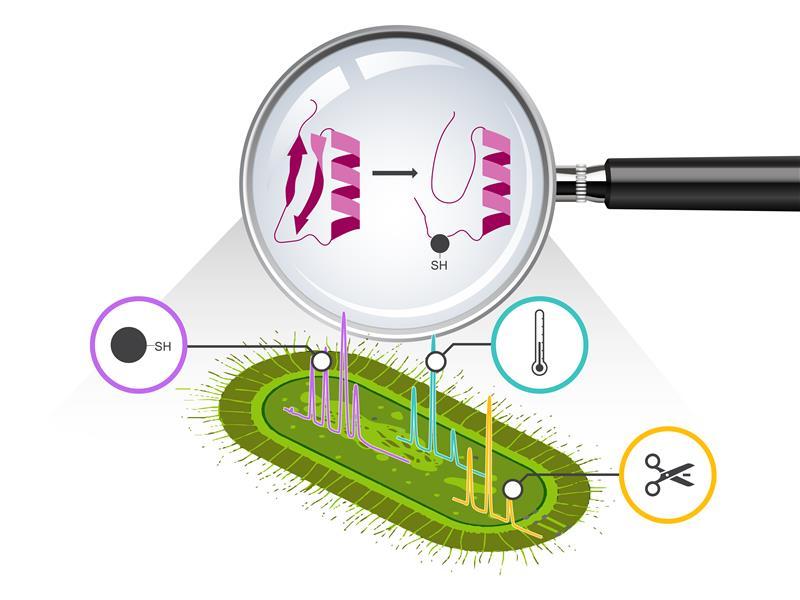
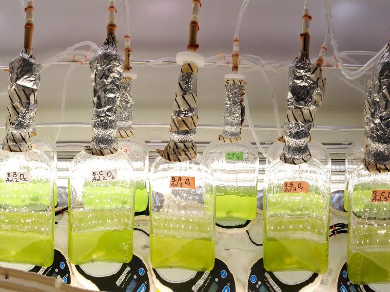
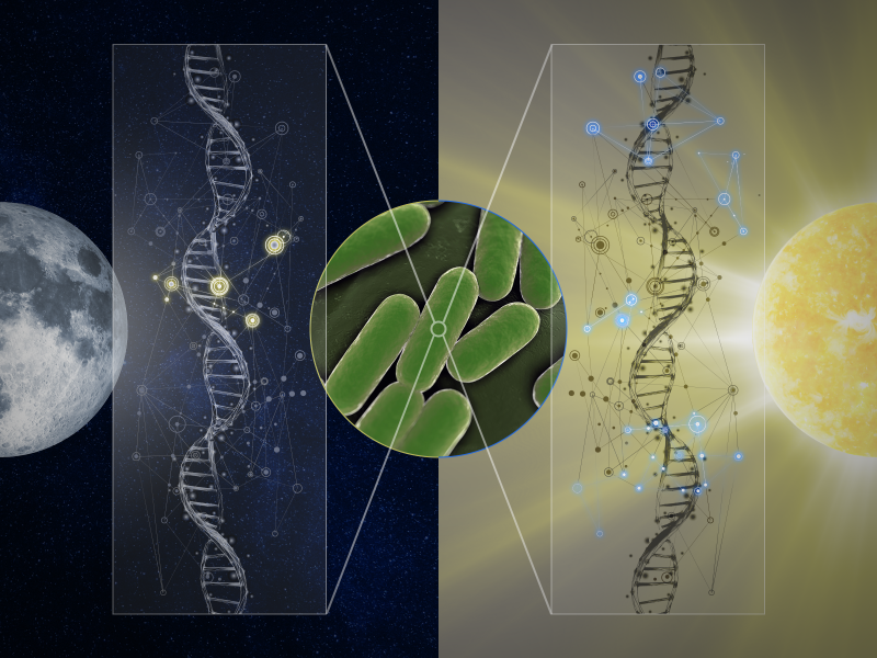
Scientists map how transitions from day to night control gene regulatory networks in cyanobacteria, revealing key orchestrators of metabolic switching.
A team from PNNL contributed several articles to the Domestic Preparedness Journal showcasing recent efforts to explore the emergency management and artificial intelligence research and development landscape.