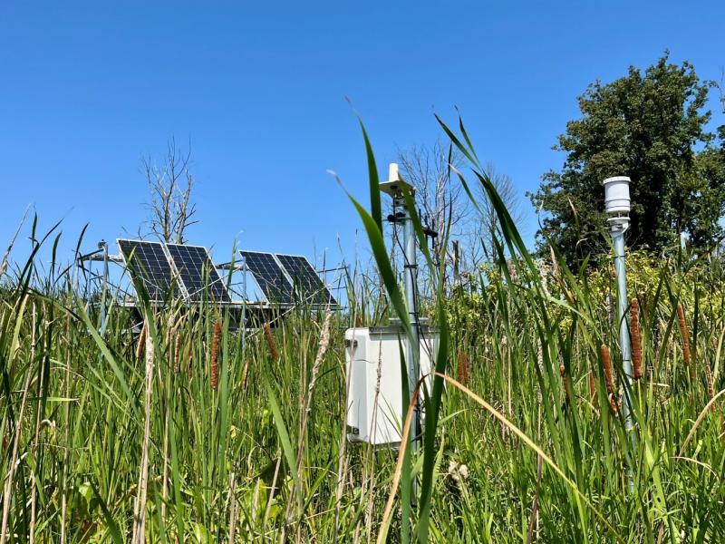
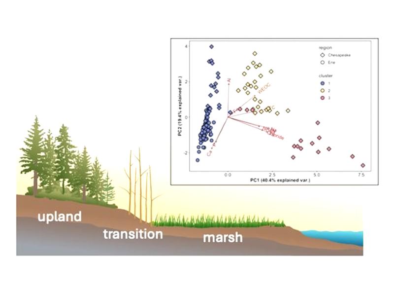
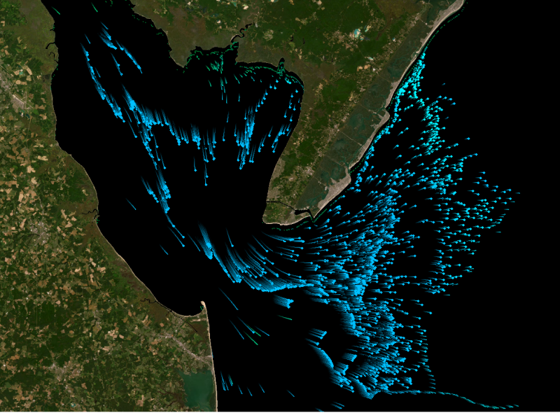
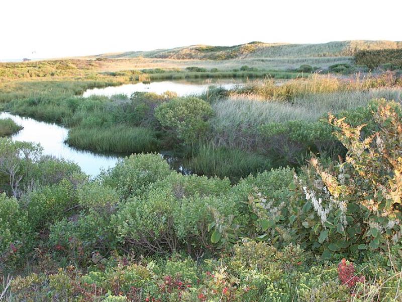
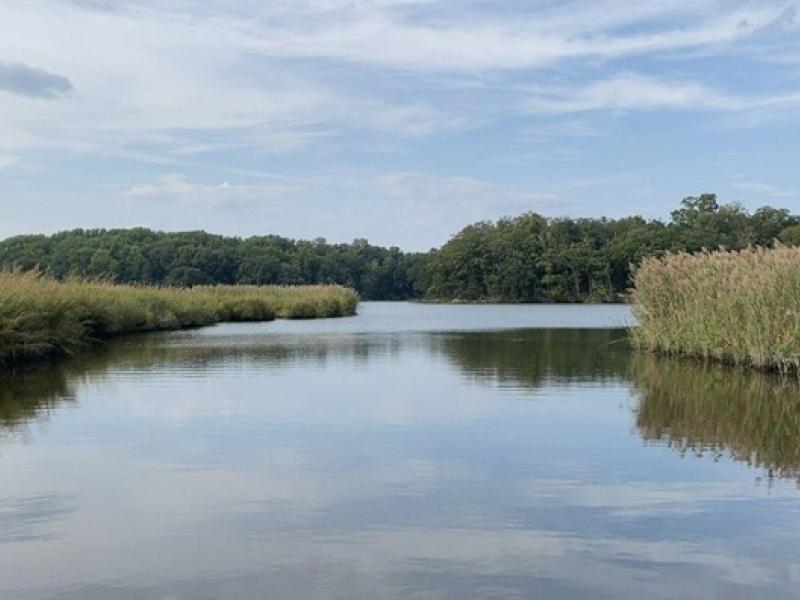
Newly designed sensor network comprehensively monitors a range of coastal landscapes to better understand nutrient and elemental dynamics that drive ecosystem function.
A team from PNNL joined the Department of Homeland Security Science and Technology Directorate and first responders from across the country to evaluate commercially available unmanned ground vehicles for emergency response.
PNNL has administered NGFP on behalf of NNSA since 2002. Looking toward the future, NGFP has signed a partnership agreement with INMM with the goal of expanding its reach to more future leaders with a passion to serve.
PNNL has developed a next-generation electrical resistivity tomography system for DOE that uses E4D software and AI-enhanced modeling to produce real-time subsurface images that help guide environmental remediation decisions.
Researchers at PNNL share a research- and practitioner-informed approach to assess the threat landscape, elicit and integrate feedback into solutions, and ultimately share outcomes with the emergency response and public safety community.
From developing new energy storage materials to revealing patterns of Earth’s complex systems, studies led by PNNL researchers are recognized for their innovation and influence.
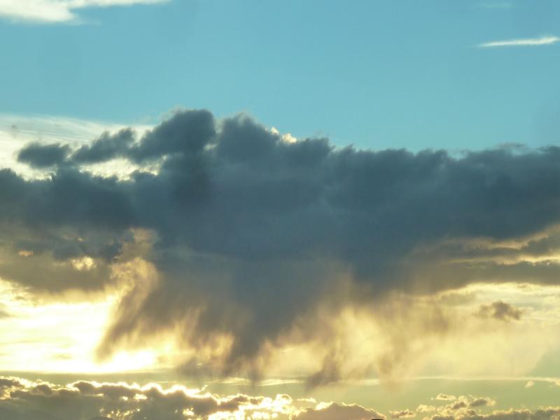
The ability of a storm-resolving weather model to predict the growth of storms over central Argentina was evaluated with data from the Clouds, Aerosols, and Complex Terrain Interactions (CACTI) field campaign in central Argentina.
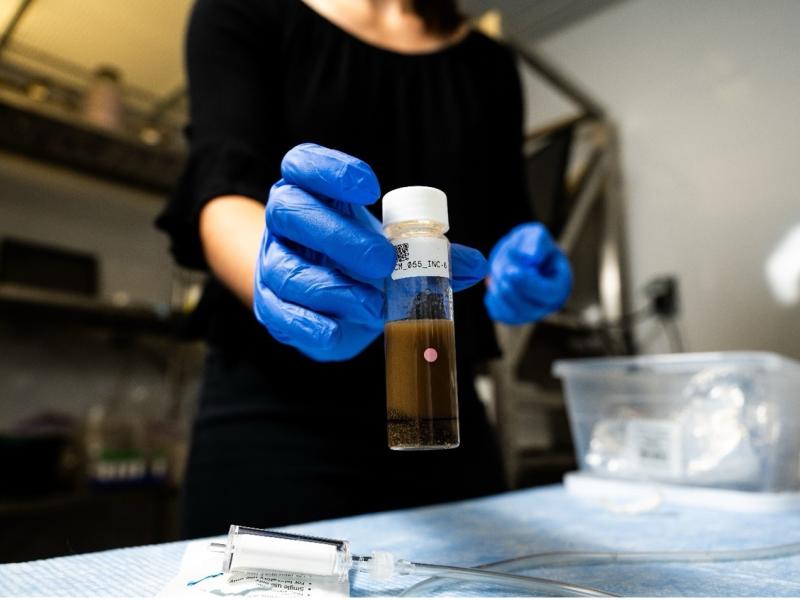
Researchers from PNNL and Parallel Works, Inc., applied machine learning methods to predict how much oxygen and nutrients are used by microorganisms in river sediments.
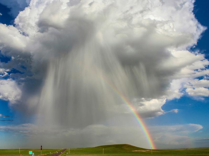
The rate of conversion of cloud droplets to precipitation, known as the autoconversion rate, remains a major source of uncertainty in characterizing aerosol’s cloud lifetime effects and precipitation in global and regional models.
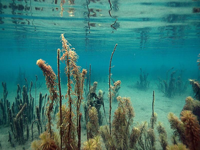
Due to their inherent variability and complexity over space and time, scientists are challenged to understand the complex interactions among soil, vegetation, and water along coastal terrestrial-aquatic interfaces.
The Coastal Observations, Mechanisms, and Predictions Across Systems and Scales: Field, Measurements, and Experiments project established a network of observational field sites across Chesapeake Bay and western Lake Erie.