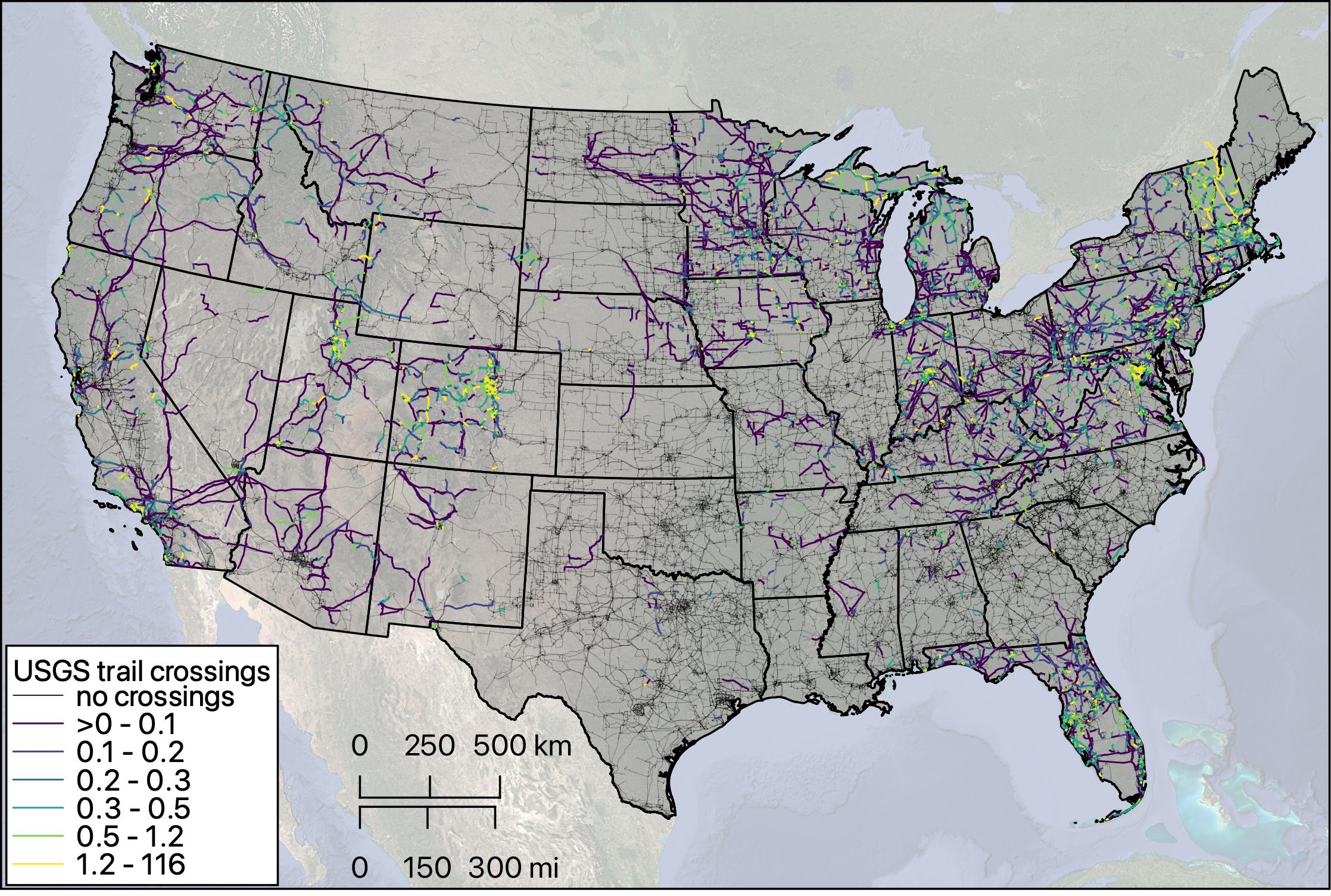
Transmission lines have been used worldwide as a space for hiking and recreation. This map shows the trails (e.g. hiking, biking, etc.) mapped by the USGS for their topographic maps, but portrayed as the trail intersections per transmission line mile to help normalize this analysis across various line lengths. Areas with a high density of trail intersections along transmission lines could be highly effective in connecting trails if developed and managed as recreational corridors.
PNNL-SA-210071