Pacific Northwest National Laboratory partnered with the Treasury and Amazon Web Services to develop Cache, a cloud-based tool that allows the Treasury’s disparate data to be easily searched, translated, extracted, linked, and analyzed.
E4D is a 3D geophysical modeling and inversion program designed for subsurface imaging and monitoring using static and time-lapse electrical resistivity tomography (ERT), spectral induced polarization (SIP) and travel-time tomography data.
GeoBOSS is a software library that combines the data-handling capabilities of Spark and the user-friendliness of Python to simplify geospatial analytics and the transition between small-scale research and large-scale operational projects.
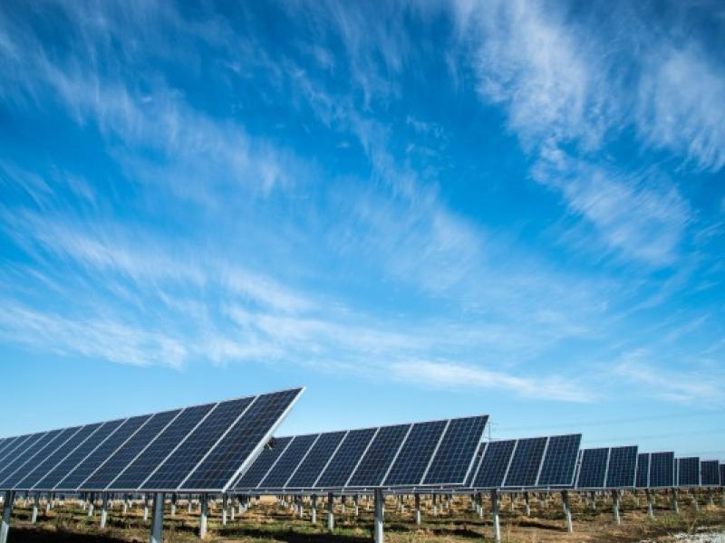
By improving the Weather Research and Forecasting (WRF)-Solar model, this project aims to reduce forecast errors, improve sub-grid scale variability estimates, and more accurately estimate forecast uncertainty.
PNNL is a testbed for the latest research and technologies in marine carbon dioxide removal (mCDR)—leveraging the ocean’s strength as a natural carbon sink to address pressing climate concerns.
Powered by few-shot learning, the Sharkzor AI-driven, scalable web application makes it possible to quickly characterize and sort electron microscopy images used to analyze radioactive materials.
STOMP is a suite of numerical simulators for solving problems involving coupled flow and transport processes in the subsurface. The suite of STOMP simulators is distinguished by application areas and solved mathematical equations.