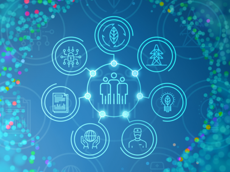
Energy experts at PNNL are helping 56 states and territories deliver their state energy security plans (SESPs) through a transparent and collaborative review process.
In January 2024, CESER—in partnership with GDO, NASEO, and PNNL—created a set of state energy security cohorts to support the coordination and technical development of state energy security planning, assessment, and mitigation.
GeoBOSS is a software library that combines the data-handling capabilities of Spark and the user-friendliness of Python to simplify geospatial analytics and the transition between small-scale research and large-scale operational projects.
IrrigationViz is a visual decision-support tool that provides users with high-level estimates for irrigation modernization projects, such as concrete lining for a canal or replacing a canal with a pipeline.
FEMP's operations and maintenance (O&M) resources offer federal agencies technology- and management-focused guidance to improve energy and water efficiency and ensure safer and more reliable operations.
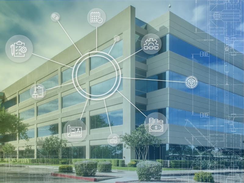
The user-friendly Project Schedule Visualizer software developed at PNNL helps users readily identify and understand the impacts of updates to the schedule, budget, and risks associated with large, complex projects that cross departments.
PNNL combines AI and cloud computing with damage assessment tools to predict the path of wildfires and quickly evaluate the impact of natural disasters, giving first responders an upper hand.
Powered by few-shot learning, the Sharkzor AI-driven, scalable web application makes it possible to quickly characterize and sort electron microscopy images used to analyze radioactive materials.
PNNL has developed a tool suite of interactive analytics that can be rapidly integrated into analyst workflows to empirically analyze and gain qualitative understanding of AI model performance jointly across dimensions.
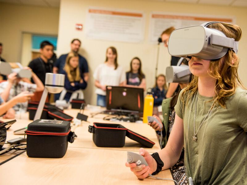
PNNL creates immersive software experiences to meet a variety of challenges. One such challenge in science, technology, engineering, and mathematics (STEM) education is providing quality computer science education for all students.