The Community Earth atmospheric Data System (CEDS) provides historical surface flux data that are used for general analysis and also for model validation through comparisons with observations.
E4D is a 3D geophysical modeling and inversion program designed for subsurface imaging and monitoring using static and time-lapse electrical resistivity tomography (ERT), spectral induced polarization (SIP) and travel-time tomography data.
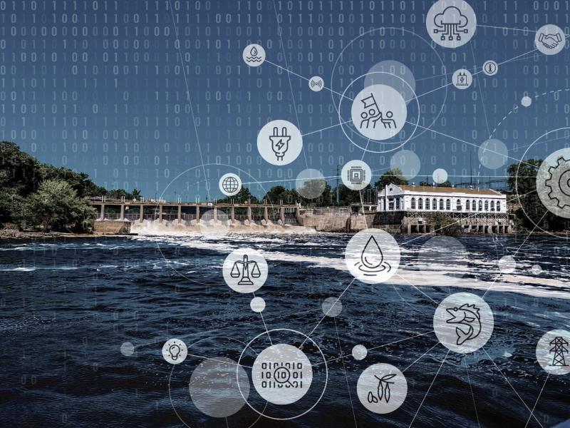
The Flow Tradeoff Tool is a free, comprehensive software toolkit designed to evaluate trade-offs between hydropower energy production and environmental flows.
The Joint Global Change Research Institute conducts research to advance fundamental understanding of human and Earth systems and provide decision-relevant information for management of emerging global risks and opportunities.
PNNL is a testbed for the latest research and technologies in marine carbon dioxide removal (mCDR)—leveraging the ocean’s strength as a natural carbon sink to address pressing climate concerns.
The Molecular Observation Network is a national open science network designed to produce a comprehensive database of molecular and microstructural information on soil, water, microbial communities, and biogenic emissions.