PNNL partners with agencies and industry to identify and engage historically disadvantaged populations in regulatory decision-making, environmental assessment, and impact estimation of the consequences of complex polices and projects.
GeoBOSS is a software library that combines the data-handling capabilities of Spark and the user-friendliness of Python to simplify geospatial analytics and the transition between small-scale research and large-scale operational projects.
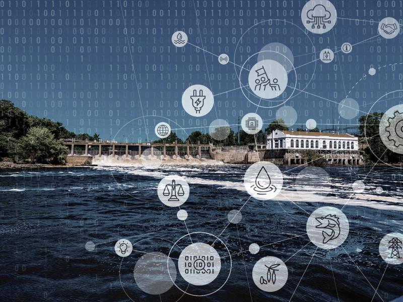
A new set of resources from PNNL helps guide dam owners and operators through response and recovery actions in the wake of cybersecurity or unusual incidents.
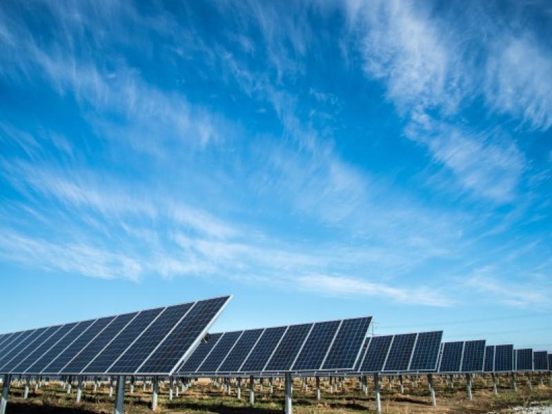
By improving the Weather Research and Forecasting (WRF)-Solar model, this project aims to reduce forecast errors, improve sub-grid scale variability estimates, and more accurately estimate forecast uncertainty.
IrrigationViz is a visual decision-support tool that provides users with high-level estimates for irrigation modernization projects, such as concrete lining for a canal or replacing a canal with a pipeline.
The Isotope Program at PNNL supports scientific advances in the production and use of radioisotopes for research, medicine, and industrial applications.
PNNL administers two research buoys for the U.S. Department of Energy that allows collection of wind meteorological and oceanographic data off the nation's coasts.
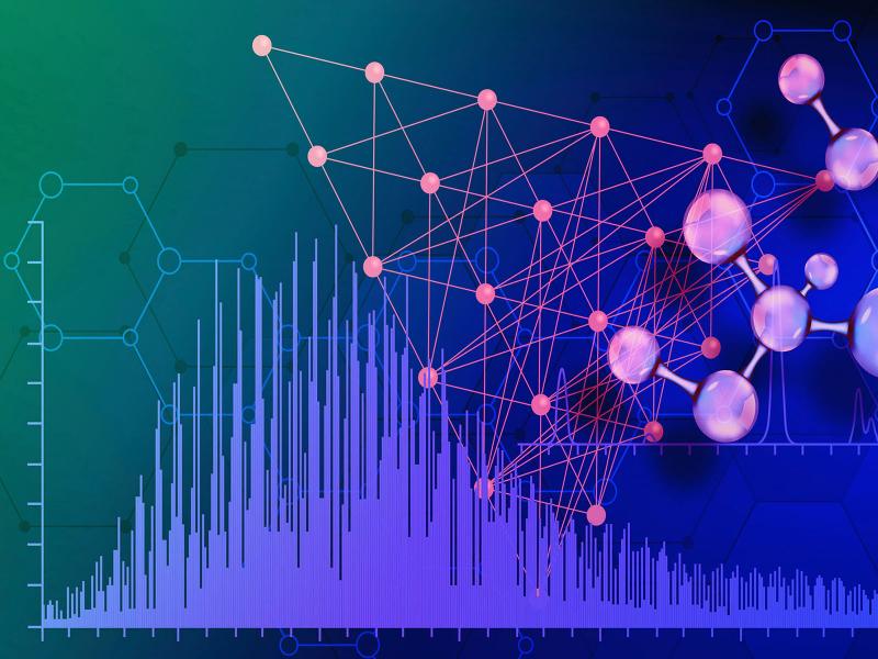
PNNL is heavily engaged in the development and use of mass spectrometry technology across its science, energy, and security missions, from fundamental research through mature operational capabilities.
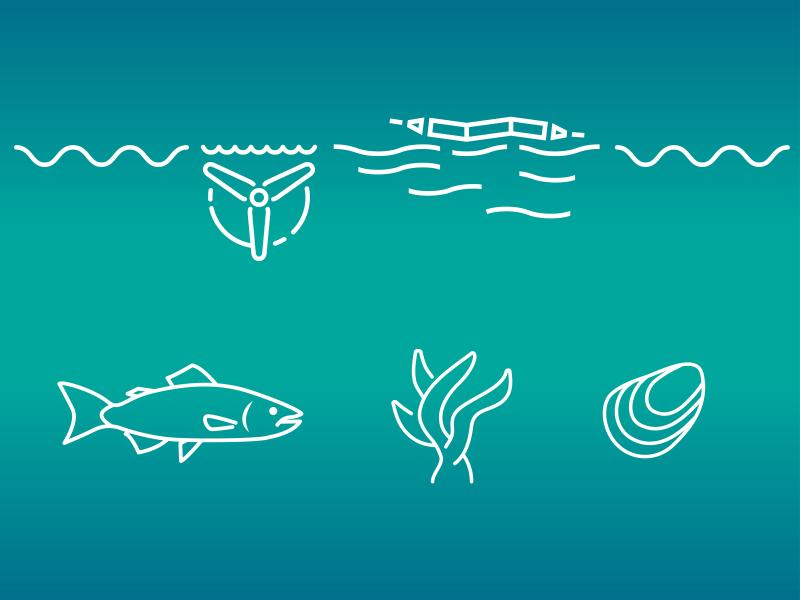
PNNL is a testbed for the latest research and technologies in marine carbon dioxide removal (mCDR)—leveraging the ocean’s strength as a natural carbon sink to address pressing climate concerns.