PNNL has developed a next-generation electrical resistivity tomography system for DOE that uses E4D software and AI-enhanced modeling to produce real-time subsurface images that help guide environmental remediation decisions.
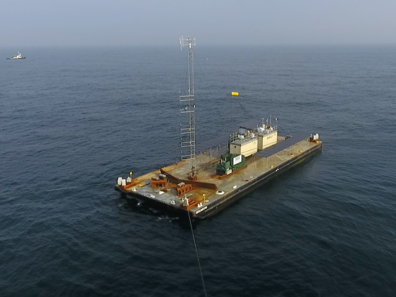
With the launch of a large research barge, PNNL and collaborators took another significant step to improve offshore wind forecasting that will lower risk and cost associated with offshore wind energy development.
To improve our ability to “see” into the subsurface, scientists need to understand how different mineral surfaces respond to electrical signals at the molecular scale.
The nation is closer to its offshore wind energy goals than ever before, but better wind forecasting is still needed. To address this challenge, PNNL and collaborators are charting a new course with help from novel technology.
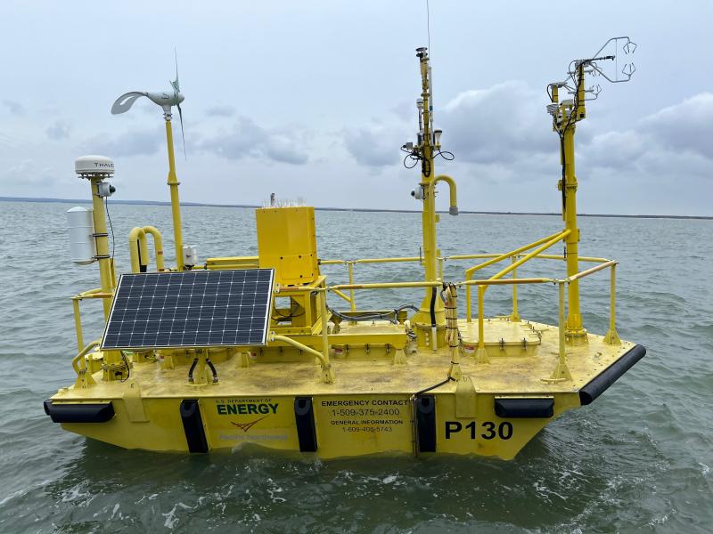
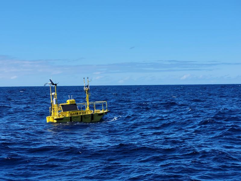
A research buoy managed by PNNL has been deployed in Hawai’ian waters, collecting oceanographic and meteorological measurements off the coast of O’ahu.