PNNL has developed a next-generation electrical resistivity tomography system for DOE that uses E4D software and AI-enhanced modeling to produce real-time subsurface images that help guide environmental remediation decisions.
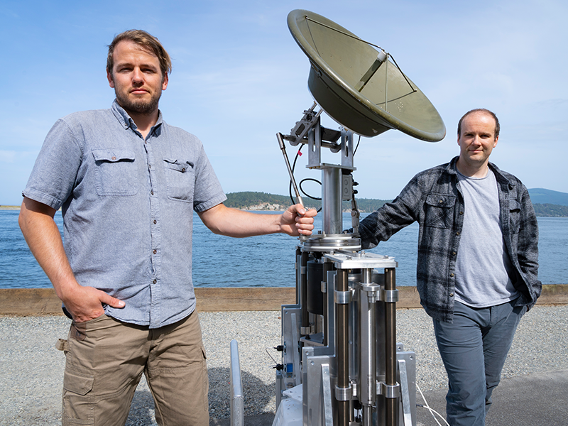
Engineers at PNNL devised a system that allows radar antennae to maintain stable orientation while mounted on platforms in open water that pitch and roll unpredictably. They were recently invited to participate in DOE's I-Corps program.
To improve our ability to “see” into the subsurface, scientists need to understand how different mineral surfaces respond to electrical signals at the molecular scale.
A new web-based tool provides easy-to-understand progress metrics and other data about groundwater cleanup sites overseen by the DOE Office of Environmental Management.