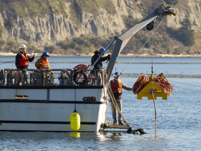
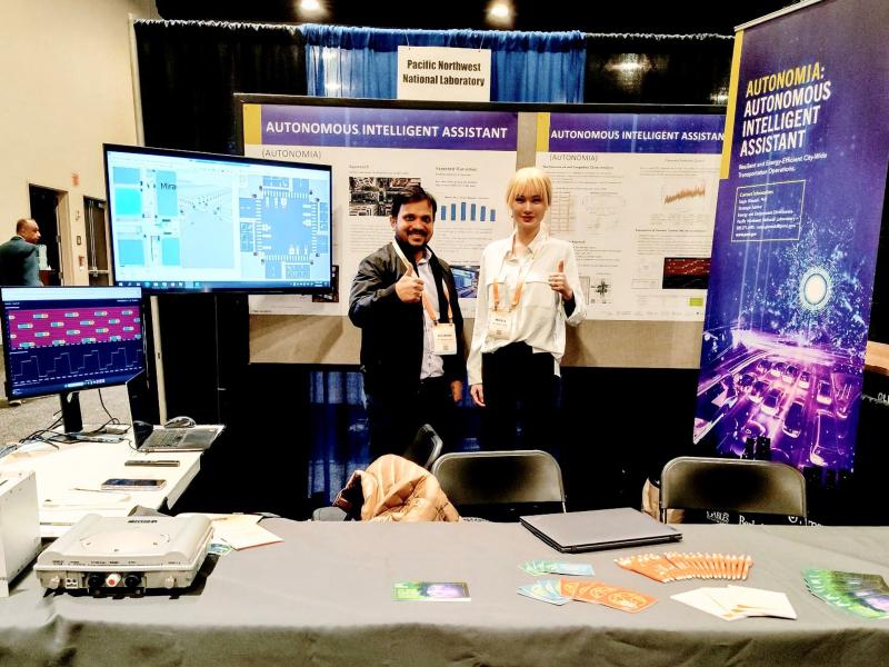
Connecting energy generation, electricity storage, and using sensors and control software to track load, including precommercial market marine energy generation technologies.
From developing new energy storage materials to revealing patterns of Earth’s complex systems, studies led by PNNL researchers are recognized for their innovation and influence.
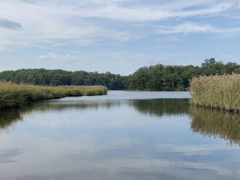
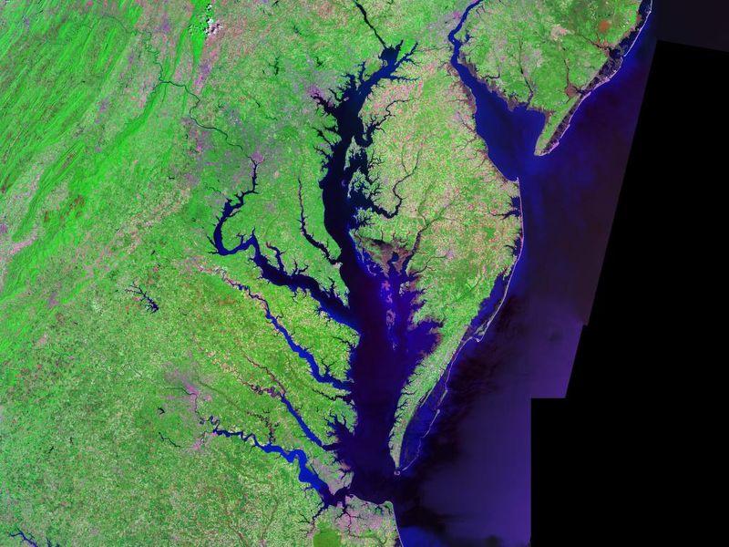
The Coastal Observations, Mechanisms, and Predictions Across Systems and Scales: Field, Measurements, and Experiments project established a network of observational field sites across Chesapeake Bay and western Lake Erie.
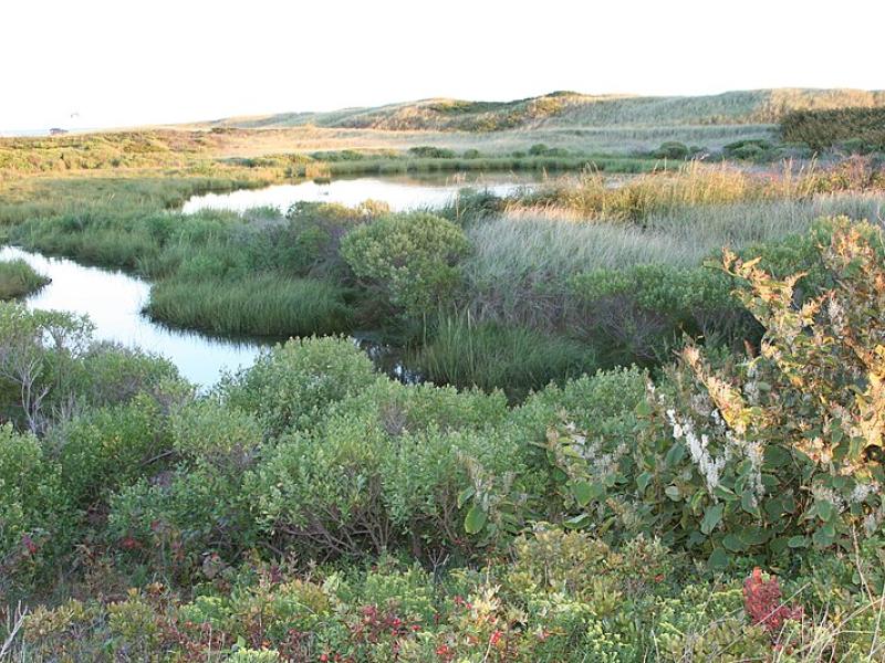
Due to their inherent variability and complexity over space and time, scientists are challenged to understand the complex interactions among soil, vegetation, and water along coastal terrestrial-aquatic interfaces.
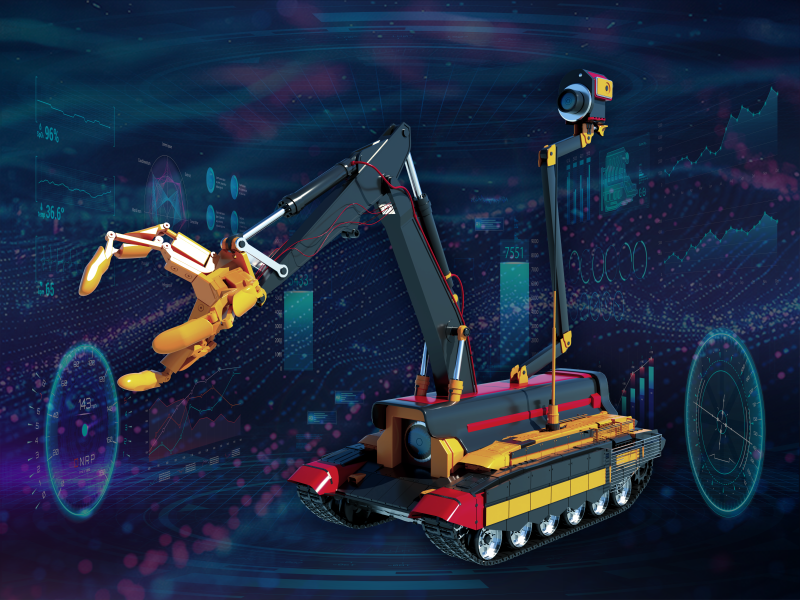
Two new publications provide emergency response agencies with critical insights into commercially available unmanned ground vehicles used for hazardous materials response.
This study characterized above- and below-ground properties to explore the spatial heterogeneity of the terrestrial aquatic interface ecosystem within the Chesapeake Bay area and evaluate the major drivers of soil respiration.
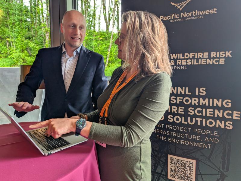
The Wildfire Mitigation Plan Database was built to support electric utilities, state governments, policymakers, and regulators in understanding and improving wildfire risk and resilience strategies.
The ARPA-E Energy Innovation Summit brings together researchers, industry leaders, entrepreneurs, and investors to showcase the latest technologies shaping tomorrow’s energy landscape. This year, eight projects led by PNNL were featured.
Research that modeled increased heat pump adoption alongside climate change impacts in Texas showed that high-efficiency heat pumps buffer the strain that electric heating might put on the power grid.
This study evaluated the sensitivity of multiple geophysical methods to measure and evaluate the spatiotemporal variability of select soil properties across terrestrial–aquatic interfaces.
Researchers integrated field measurements, lab experiments, and model simulations to study oxygen consumption dynamics in soils along a coastal gradient.
This research explores how changes in groundwater levels affect the chemistry of underground water, especially in areas where land meets water, like wetlands.
PNNL researchers are exploring the kinds of flicker waveforms that the eye and brain can detect, seeking to understand the different visual and non-visual effects that result.