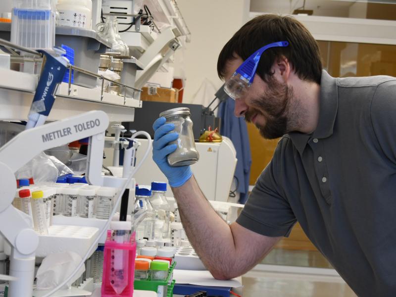
A new report highlights a public workshop hosted by the National Academies Forum on Microbial Threats and features PNNL's Lauren Charles and the AI-Driven One Health Security program.
PNNL has developed a next-generation electrical resistivity tomography system for DOE that uses E4D software and AI-enhanced modeling to produce real-time subsurface images that help guide environmental remediation decisions.
Replacing commercial acid with acidic waste enables researchers to improve nickel extraction efficiency, lower projected costs, and improve process economics.
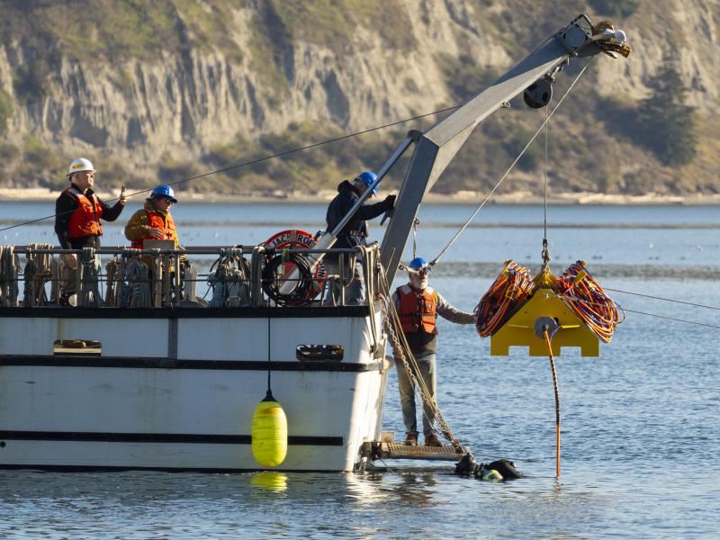
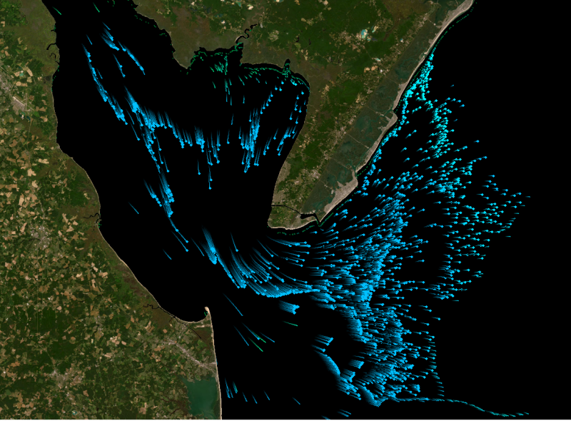
Connecting energy generation, electricity storage, and using sensors and control software to track load, including precommercial market marine energy generation technologies.
From developing new energy storage materials to revealing patterns of Earth’s complex systems, studies led by PNNL researchers are recognized for their innovation and influence.
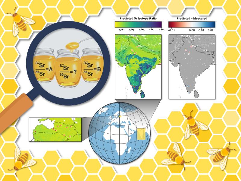
A study by researchers at PNNL assessed the feasibility of using strontium isotope ratios and an existing machine learning–based model to predict and verify a product’s source—in this case, honey.
Two new publications provide emergency response agencies with critical insights into commercially available unmanned ground vehicles used for hazardous materials response.
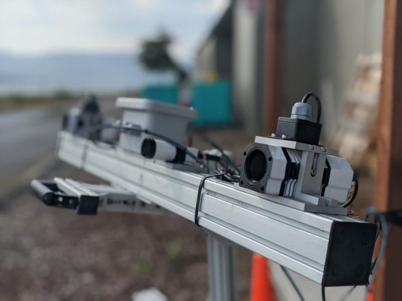
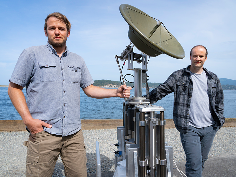
Engineers at PNNL devised a system that allows radar antennae to maintain stable orientation while mounted on platforms in open water that pitch and roll unpredictably. They were recently invited to participate in DOE's I-Corps program.
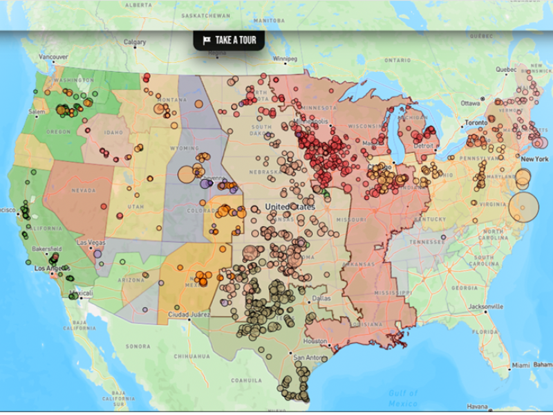
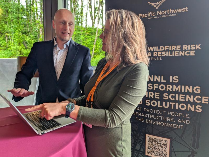
The Wildfire Mitigation Plan Database was built to support electric utilities, state governments, policymakers, and regulators in understanding and improving wildfire risk and resilience strategies.
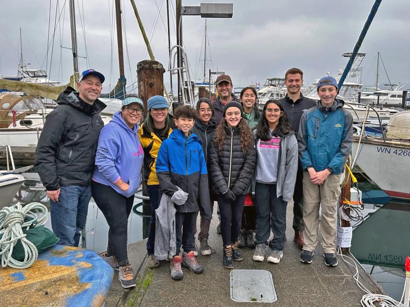
Researchers at PNNL advised elementary and middle school student teams with their problem-solving research for the FIRST® LEGO® League robotics competitions.
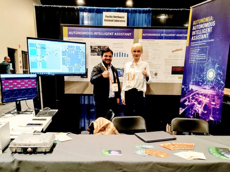
The ARPA-E Energy Innovation Summit brings together researchers, industry leaders, entrepreneurs, and investors to showcase the latest technologies shaping tomorrow’s energy landscape. This year, eight projects led by PNNL were featured.