PNNL has developed a next-generation electrical resistivity tomography system for DOE that uses E4D software and AI-enhanced modeling to produce real-time subsurface images that help guide environmental remediation decisions.
Matteo Muratori, director of transportation and industry programs at PNNL, has been named to the 2026–2028 cohort of the National Academies of Sciences, Engineering, and Medicine’s New Voices Program.
Researchers at PNNL share a research- and practitioner-informed approach to assess the threat landscape, elicit and integrate feedback into solutions, and ultimately share outcomes with the emergency response and public safety community.
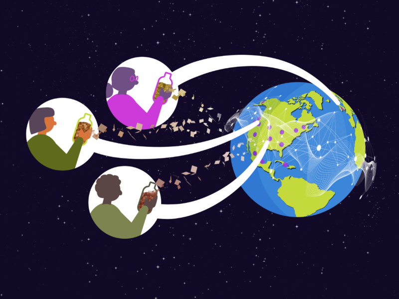
Distributed science is thriving at PNNL, where scientists share data and collaborate with researchers around the world to increase the impact of the work.
This summer, PNNL hosted the inaugural “As Conductive As Copper” (AC2.0) workshop, fostering a collaborative conversation on the future of the U.S. copper supply chain.
Shear Assisted Processing and Extrusion (ShAPE) imparts significantly more deformation compared to conventional extrusion. The latest ShAPE system at PNNL, ShAPEshifter, is a purpose-built machine designed for maximum configurability.
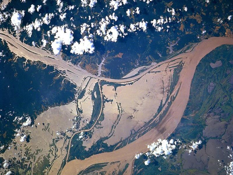
High-resolution hydrodynamic-sediment modeling shows that inundation, suspended sediment concentration in the Amazon River, and floodplain hydrodynamics drive sediment deposition in Amazonian floodplains.
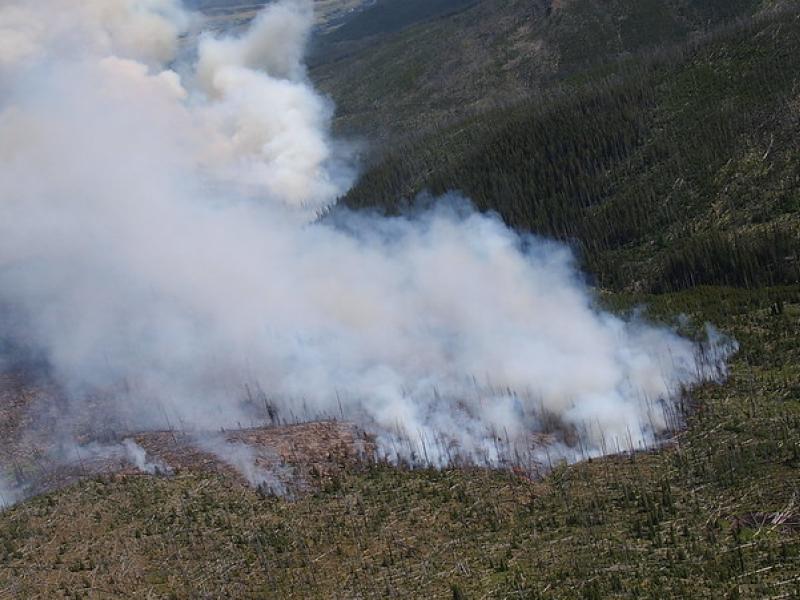
This study used historical data, remote sensing, and aquatic sensors to measure how far wildfire impacts propagated through the watershed after the 2022 Hermit’s Peak/Calf Canyon fire, New Mexico’s largest wildfire in history.
Two new publications provide emergency response agencies with critical insights into commercially available unmanned ground vehicles used for hazardous materials response.
To assess the impact of observation period and gauge location, model parameters were learned on scenarios using different chunks of streamflow observations.
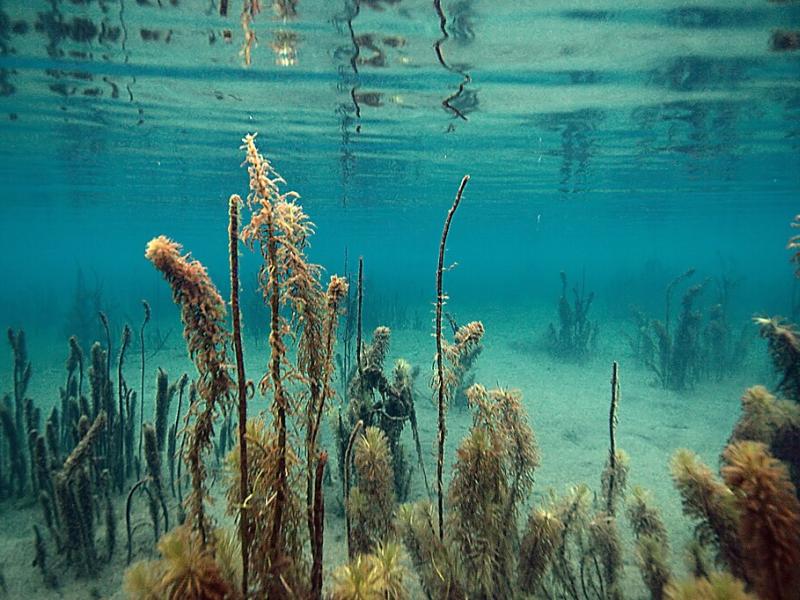
PNNL scientist James Stegen and an international team of collaborators recently published a comprehensive review of variably inundated ecosystems (VIEs).
This study presents an automated method to detect and classify open- and closed-cell mesoscale cellular convection (MCC) using long-term ground-based radar observations.
A team from PNNL contributed several articles to the Domestic Preparedness Journal showcasing recent efforts to explore the emergency management and artificial intelligence research and development landscape.
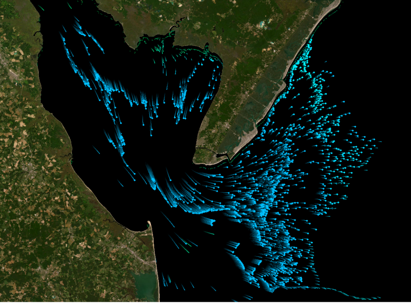
Seawater threatens to intrude into coastal freshwater aquifers that millions of people depend on for drinking water and irrigation. This study investigates sea-level rise impacts on the global coastal groundwater table.
New datasets delineating global urban land support scientific research, application, and policy, but they can produce different results when applied to the same problem making it difficult for researchers to decide which to use.