Pacific Northwest National Laboratory partnered with the Treasury and Amazon Web Services to develop Cache, a cloud-based tool that allows the Treasury’s disparate data to be easily searched, translated, extracted, linked, and analyzed.
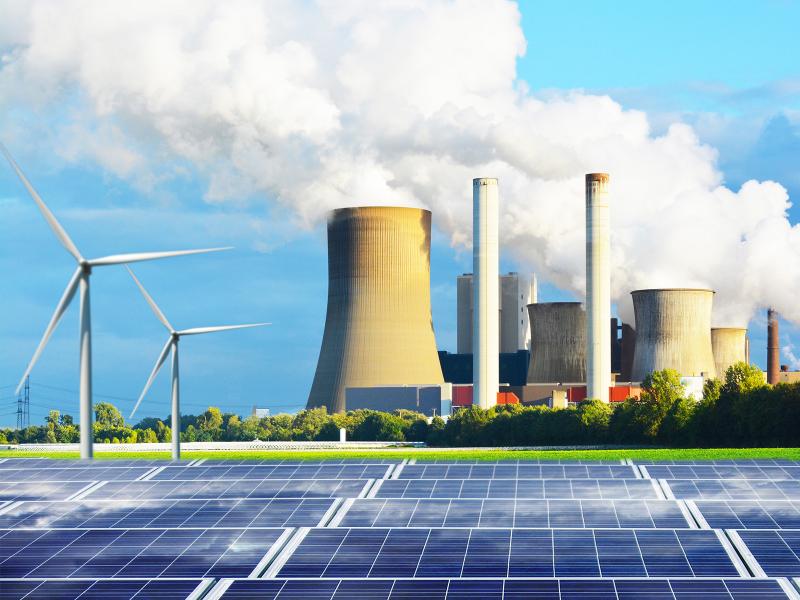
PNNL is helping communities with significant historical ties to fossil energy understand opportunities and pursue numerous federal resources available to support coal power plant redevelopment.
E4D is a 3D geophysical modeling and inversion program designed for subsurface imaging and monitoring using static and time-lapse electrical resistivity tomography (ERT), spectral induced polarization (SIP) and travel-time tomography data.
GeoBOSS is a software library that combines the data-handling capabilities of Spark and the user-friendliness of Python to simplify geospatial analytics and the transition between small-scale research and large-scale operational projects.
The Isotope Program at PNNL supports scientific advances in the production and use of radioisotopes for research, medicine, and industrial applications.
PNNL is a testbed for the latest research and technologies in marine carbon dioxide removal (mCDR)—leveraging the ocean’s strength as a natural carbon sink to address pressing climate concerns.
Powered by few-shot learning, the Sharkzor AI-driven, scalable web application makes it possible to quickly characterize and sort electron microscopy images used to analyze radioactive materials.
STOMP is a suite of numerical simulators for solving problems involving coupled flow and transport processes in the subsurface. The suite of STOMP simulators is distinguished by application areas and solved mathematical equations.
The UNSAT-H computer code is used to understand the movement of water, heat, and vapor in soils so more informed decisions can be made about land use, waste disposal, and climate change.