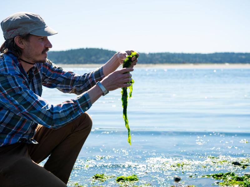
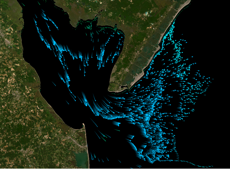
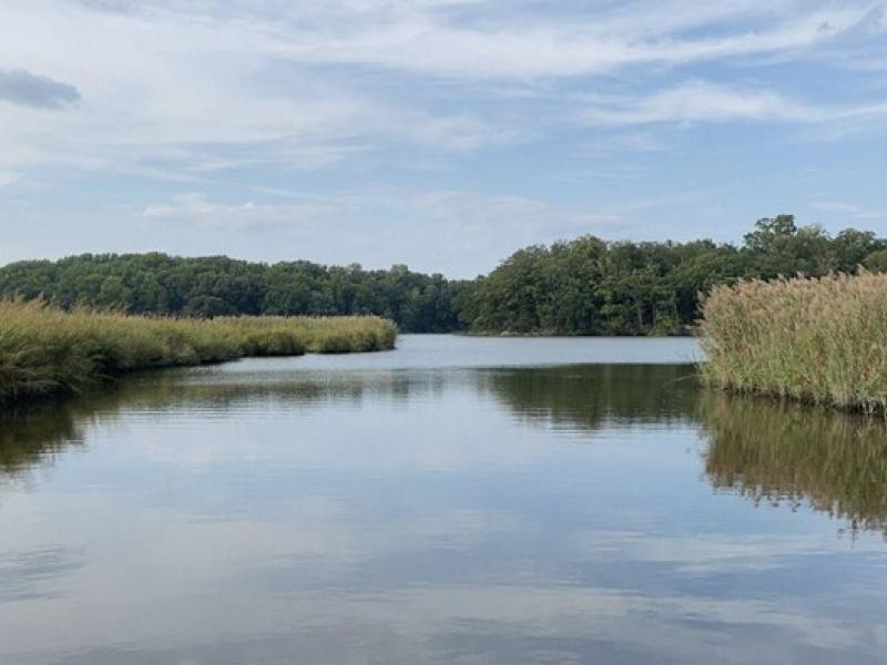
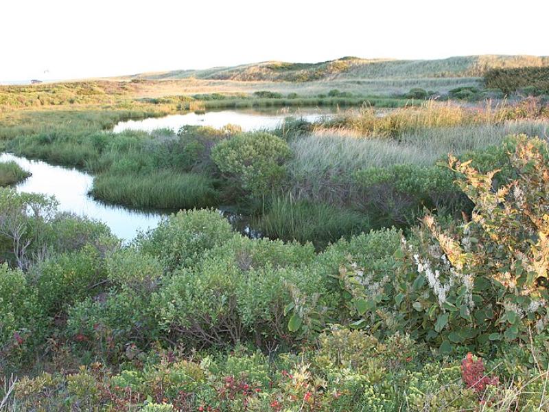
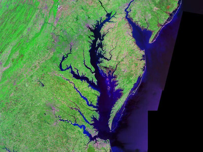
The Coastal Observations, Mechanisms, and Predictions Across Systems and Scales: Field, Measurements, and Experiments project established a network of observational field sites across Chesapeake Bay and western Lake Erie.
Due to their inherent variability and complexity over space and time, scientists are challenged to understand the complex interactions among soil, vegetation, and water along coastal terrestrial-aquatic interfaces.
This study characterized above- and below-ground properties to explore the spatial heterogeneity of the terrestrial aquatic interface ecosystem within the Chesapeake Bay area and evaluate the major drivers of soil respiration.
Led by interns from multiple DOE programs, a newly expanded dataset allows researchers to use easy-to-obtain measurements to determine the elemental composition of a promising carbon storage mineral.
PNNL’s year in review includes highlights ranging from advancing soil science to understanding Earth systems, expanding electricity transmission, detecting fentanyl, and applying artificial intelligence to aid scientific discovery.
New datasets delineating global urban land support scientific research, application, and policy, but they can produce different results when applied to the same problem making it difficult for researchers to decide which to use.
The demand for energy is growing—and so is the technology supporting it. However, future development of power generation technologies could be affected by a key factor: material supply.
This study evaluated the sensitivity of multiple geophysical methods to measure and evaluate the spatiotemporal variability of select soil properties across terrestrial–aquatic interfaces.
Researchers integrated field measurements, lab experiments, and model simulations to study oxygen consumption dynamics in soils along a coastal gradient.
This research explores how changes in groundwater levels affect the chemistry of underground water, especially in areas where land meets water, like wetlands.