PNNL has developed a next-generation electrical resistivity tomography system for DOE that uses E4D software and AI-enhanced modeling to produce real-time subsurface images that help guide environmental remediation decisions.
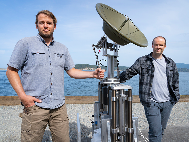
Engineers at PNNL devised a system that allows radar antennae to maintain stable orientation while mounted on platforms in open water that pitch and roll unpredictably. They were recently invited to participate in DOE's I-Corps program.
To improve our ability to “see” into the subsurface, scientists need to understand how different mineral surfaces respond to electrical signals at the molecular scale.
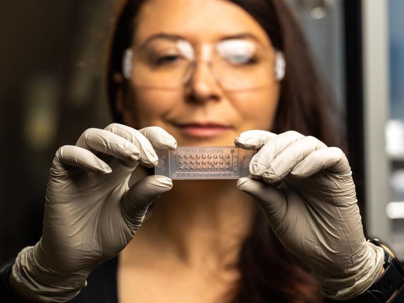
Spatial proteomics enables researchers to link protein measurements to features in the image of a tissue sample, which are lost using standard approaches.