A team from PNNL joined the Department of Homeland Security Science and Technology Directorate and first responders from across the country to evaluate commercially available unmanned ground vehicles for emergency response.
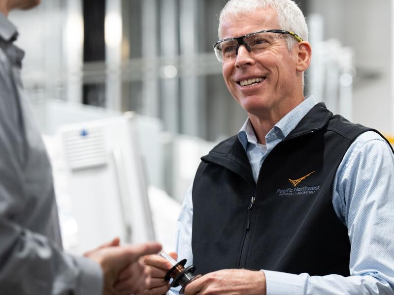
David Wunschel, a chemist and Laboratory Fellow, participated on a panel focused on how emerging technologies are transforming CBRN defense, detection, and response across military and government operations.
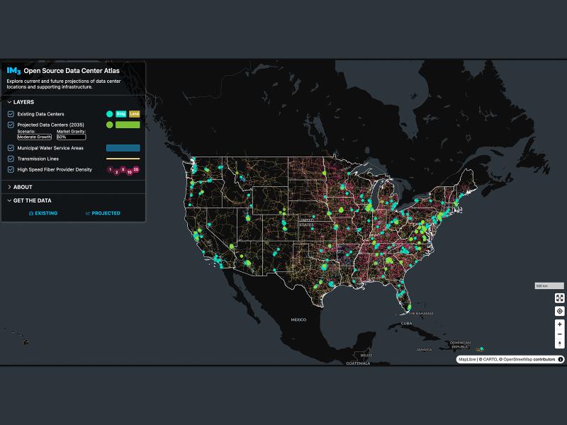
Now, anyone can easily explore and access data from a nationwide map of data centers, the infrastructure that powers them, and projections of future data center locations.
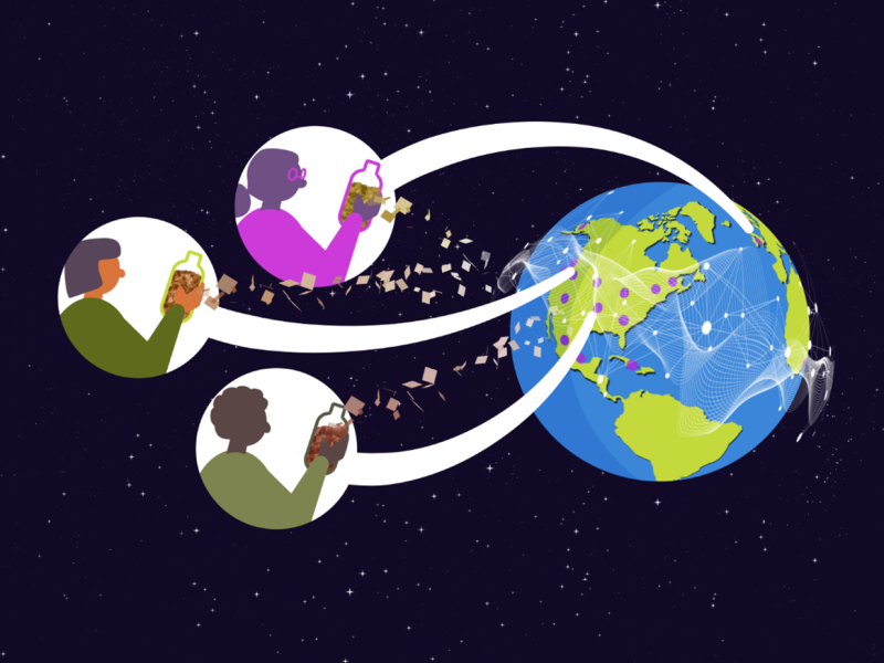
Distributed science is thriving at PNNL, where scientists share data and collaborate with researchers around the world to increase the impact of the work.
From developing new energy storage materials to revealing patterns of Earth’s complex systems, studies led by PNNL researchers are recognized for their innovation and influence.
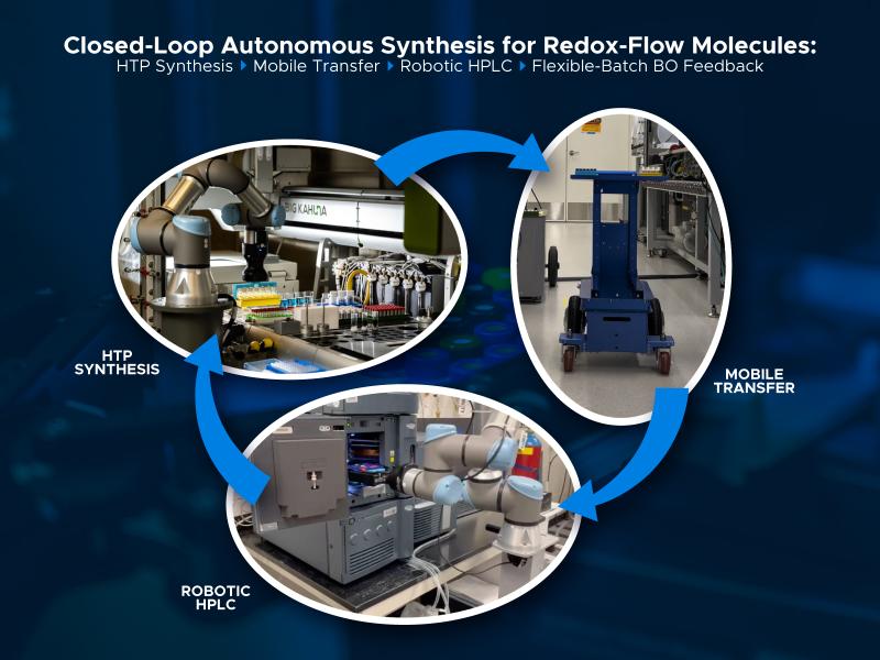
A closed-loop workflow brings together digital and physical frameworks to advance high-throughput experimentation on redox-active molecules in flow batteries.
The rate of conversion of cloud droplets to precipitation, known as the autoconversion rate, remains a major source of uncertainty in characterizing aerosol’s cloud lifetime effects and precipitation in global and regional models.
Two new publications provide emergency response agencies with critical insights into commercially available unmanned ground vehicles used for hazardous materials response.
To assess the impact of observation period and gauge location, model parameters were learned on scenarios using different chunks of streamflow observations.
PNNL's E-COMP initiative is helping unleash American energy innovation with advanced theories, models, and software tools to better operate power systems that rely heavily on high-speed power electronic control.
This study presents an automated method to detect and classify open- and closed-cell mesoscale cellular convection (MCC) using long-term ground-based radar observations.
The Wildfire Mitigation Plan Database was built to support electric utilities, state governments, policymakers, and regulators in understanding and improving wildfire risk and resilience strategies.
New datasets delineating global urban land support scientific research, application, and policy, but they can produce different results when applied to the same problem making it difficult for researchers to decide which to use.