Watershed-based representation discretized into topographic subgrid units better captured small-scale land cover, precipitation, temperature, and snow variability across multiple spatial scales.
Numerical simulations reveal how well-controlled wall temperature and moisture can generate a stratocumulus-like cloud top in a laboratory cloud chamber.
Tracking water age using a new precipitation tagging method within a hydrologic model generates key information to support hydropower energy and other water-dependent systems.
A team from PNNL joined the Department of Homeland Security Science and Technology Directorate and first responders from across the country to evaluate commercially available unmanned ground vehicles for emergency response.
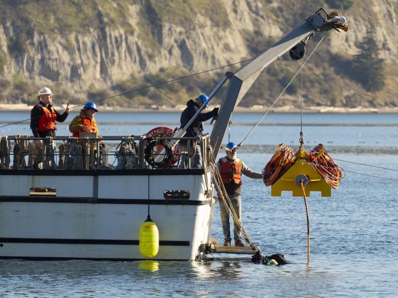
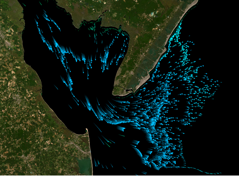
Connecting energy generation, electricity storage, and using sensors and control software to track load, including precommercial market marine energy generation technologies.
Researchers at PNNL share a research- and practitioner-informed approach to assess the threat landscape, elicit and integrate feedback into solutions, and ultimately share outcomes with the emergency response and public safety community.
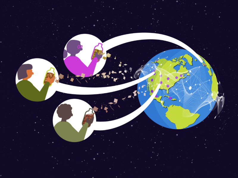
Distributed science is thriving at PNNL, where scientists share data and collaborate with researchers around the world to increase the impact of the work.
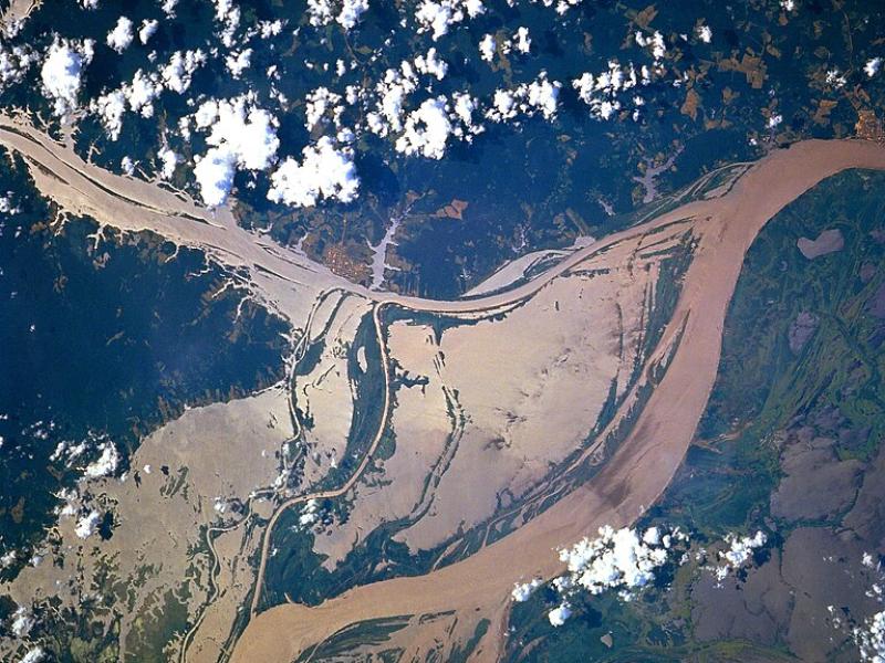
High-resolution hydrodynamic-sediment modeling shows that inundation, suspended sediment concentration in the Amazon River, and floodplain hydrodynamics drive sediment deposition in Amazonian floodplains.