August 8, 2023
Research Highlight

From Supercomputers to Regional Climate Data: Exploring Best Practices for “Variable-Resolution” Modeling

A holistic evaluation of the uncertainty sources that arise from configuring the model to processing the output for global variable-resolution models

The Earth with a black grid mesh as an overlay.

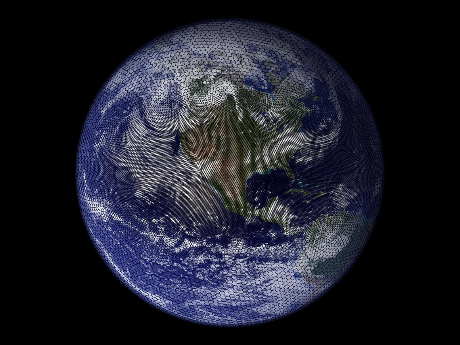
Illustration of a “variable-resolution” capability of new generation of global climate models. This example uses 50-km wide grid cells over North America, which smoothly transition to 200-km cells over the rest of the globe.

(Image of Earth: NASA Visible Earth; Composite image by K. Sakaguchi | Pacific Northwest National Laboratory)

The Science                                

Projecting the future climate is challenging, especially for extreme weather events like storms and floods. Increasing grid resolution may make climate projections more reliable, but factors outside the target region or external to the model, such as experimental design, can also affect projection quality. This study found that the standard simulation protocol used by conventional regional models is insufficient for emerging global variable-resolution (VR) models. For example, VR modeling over South America needs to pay attention to rainstorms in the tropical ocean, as errors there can propagate to South America through teleconnections. These findings provide the first holistic “best practice” guidance for using global VR models for regional climate projections.

The Impact

Global VR models have not been evaluated in the context of coordinated regional climate experiments, which traditionally involve only regional models. Therefore, it is unclear how VR models compare against, or complement, regional models. To address this question, researchers produced a suite of climate simulations using a VR model, the Model for Prediction Across Scales coupled to the Community Atmosphere Model (CAM-MPAS), following standard North American climate projection protocol. Comprehensive analysis found scientific and technical aspects of regional climate projections unique to VR models. These findings represent a first step towards a coordinated effort to include regional models and global VR models to develop a more diverse model ensemble that can provide new insights for regional climate studies.

Summary

High model resolution is important to realistically simulating many atmospheric phenomena, such as strong winds over mountains. But high-resolution simulations are computationally expensive, so scientists typically simulate small regions using regional models. This approach, however, unrealistically isolates the atmosphere of the target region from the rest of the globe. Emerging global VR models can simultaneously achieve high resolution over a target region and seamless interactions with the global atmosphere, but at a higher computational cost than regional models. This study ran a global VR model, CAM-MPAS, following the North American Coordinated Regional Downscaling Experiment (CORDEX) protocol. Unlike traditional regional climate studies, the simulated climate was evaluated at global and regional scales. Furthermore, the whole workflow was assessed and documented to avoid unnecessary errors in the final climate data products. Documentation includes a description of the experimental VR model, model input requirements, computational configurations and resource usage at different model resolutions, and important characteristics of the supercomputers at the National Energy Research Scientific Computing Center. The findings provide unique and detailed information to modelers with and without VR model experience, as well as users of the CAM-MPAS simulation data.

PNNL Contact

L. Ruby Leung, Pacific Northwest National Laboratory, ruby.leung@pnnl.gov

Funding

The Department of Energy Office of Science, Biological and Environmental Research program supported this research as part of the Regional and Global Model Analysis and MultiSector Dynamics program areas.

Published: August 8, 2023

Sakaguchi, K., et al. 2023. “Technical descriptions of the experimental dynamical downscaling simulations over North America by the CAM–MPAS variable-resolution model,” Geoscientific Model Development, 16(10), 3029–3081. [DOI: 10.5194/gmd-16-3029-2023]