January 27, 2021
Research Highlight

A New Global Land Use Dataset for Advancing Earth System Science

A new publicly available and global gridded high-resolution land use dataset based on diverse future socioeconomic and climate scenarios

Aerial image of fields and human-modified semi-urban space

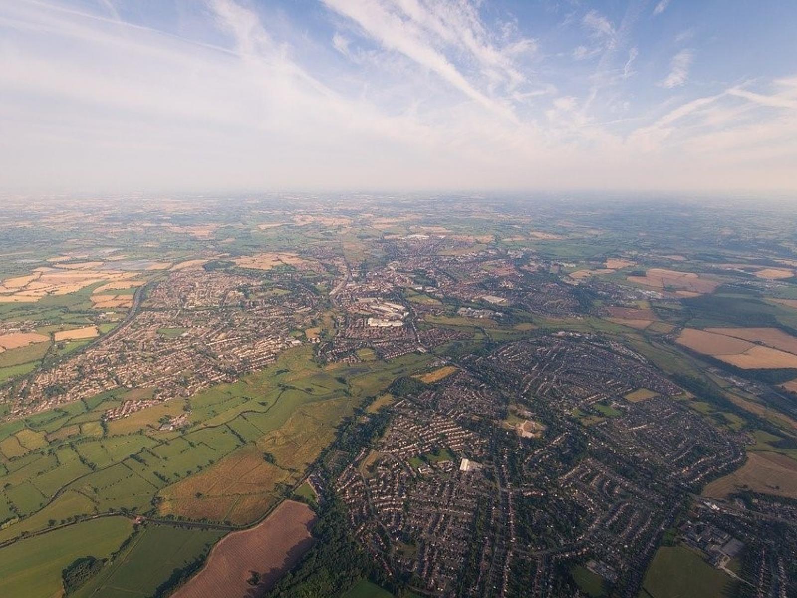
Researchers produced a new global high-resolution land use dataset that can feed into a range of current Earth system models.

(Image by Free-Photos | Pixabay.com)

The Science

Land use change represents one of the most important human effects on the Earth system, with profound physical and biogeochemical impacts at both regional and global scales. Global future land use datasets are a fundamentally important input for the Earth system models that project Earth system dynamics and are critical for many modeling studies of future global change. By combining a suite of global climate model outputs, the Global Change Analysis Model, and Demeter, a model that uses a process called downscaling to generate higher resolution information from lower resolution data, researchers produced a new global high-resolution land use dataset. Using diverse future socioeconomic and climate scenarios as starting points, this dataset can benefit and advance the science of multi-sector, multi-scale dynamics research, and Earth system science more broadly.

The Impact

The newly calculated, publicly available global land use dataset has a high spatial resolution (0.05 degrees) which represents a suite of downscaled projections from published future socioeconomic and climate scenarios. The dataset possesses a similar level of diversity in land cover types commonly found in existing Earth system models and can be directly used in current Earth system model simulations and analysis. This will allow researchers to conduct analysis related to the impacts of land use and land cover change and how they intersect with socioeconomic conditions, as well as characterize the uncertainties associated with these potential impacts.

Summary

Researchers combined Global Change Analysis Model and Demeter to produce a new global gridded land use dataset for the years 2015-2100 under fifteen diverse global scenarios. Land use datasets are an essential input used by Earth system models which allow them to more realistically simulate Earth system dynamics and analyze the effects of land use on climate and biochemical cycles. Existing global land use datasets typically have coarse spatial resolution (e.g., 0.25 degrees) for a small set of scenarios (e.g., a subset of combinations of Shared Socioeconomic Pathways and Representative Concentration Pathways) chosen by the Scenario Model Intercomparision Project for Coupled Model Intercomparison Project Phase 6 experiments. Researchers generated the new dataset under a more comprehensive range of future socioeconomic and climate scenarios. This widened basis allows the dataset to be used for a wide range of studies, including ecological modeling, Earth system modeling, land-atmosphere interactions, agriculture, energy market, water resources management, and socioeconomic analysis, to investigate the complex feedbacks between each of these Earth system research areas.

PNNL Contact

Katherine Calvin, Pacific Northwest National Laboratory, Katherine.Calvin@pnnl.gov

Funding

This research was supported by the U.S. Department of Energy, Office of Science, as part of research in the MultiSector Dynamics, Earth and Environmental System Modeling Program. The Pacific Northwest National Laboratory is operated for U.S. Department of Energy by Battelle Memorial Institute under contract DE-AC05-76RL01830.

Published: January 27, 2021

Chen, M., Vernon, C.R., Graham, N.T. et al. “Global land use for 2015–2100 at 0.05° resolution under diverse socioeconomic and climate scenarios.” Sci. Data, 7, 320 (2020). https://doi.org/10.1038/s41597-020-00669-x

Research topics