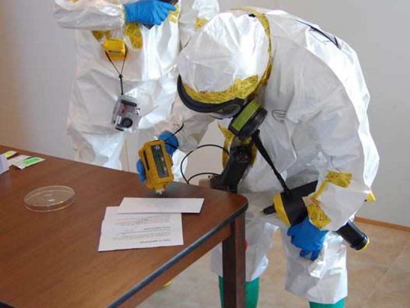
PNNL partners with the Department of Homeland Security, industry, and the first-responder community to improve the effectiveness and safety during biodetection responses.
The Community Earth atmospheric Data System (CEDS) provides historical surface flux data that are used for general analysis and also for model validation through comparisons with observations.
IrrigationViz is a visual decision-support tool that provides users with high-level estimates for irrigation modernization projects, such as concrete lining for a canal or replacing a canal with a pipeline.
Pacific Northwest National Laboratory supports innovations in data analytics, instrumentation, and experimental techniques for the Northwest (NW) Biopreparedness Research Virtual Environment (BRaVE) Initiative.