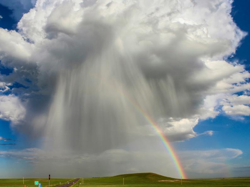
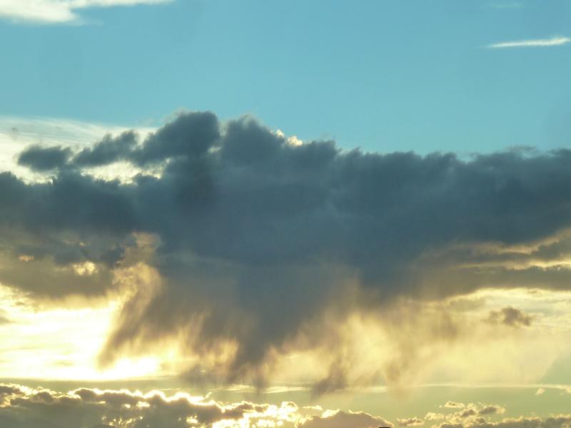
The rate of conversion of cloud droplets to precipitation, known as the autoconversion rate, remains a major source of uncertainty in characterizing aerosol’s cloud lifetime effects and precipitation in global and regional models.
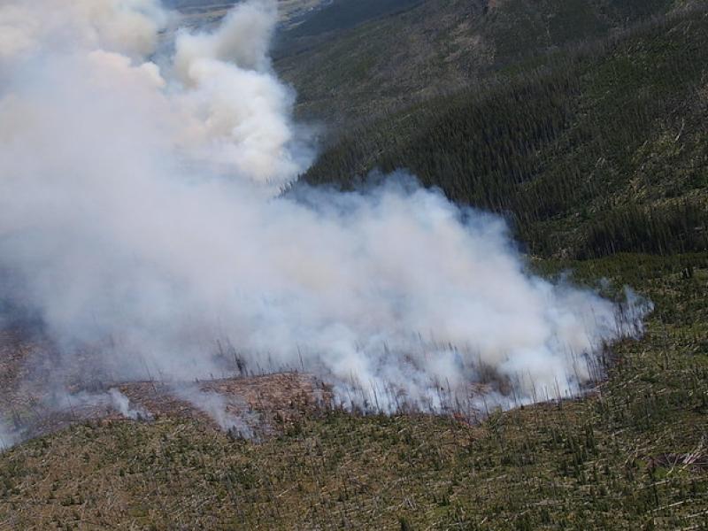
This study used historical data, remote sensing, and aquatic sensors to measure how far wildfire impacts propagated through the watershed after the 2022 Hermit’s Peak/Calf Canyon fire, New Mexico’s largest wildfire in history.
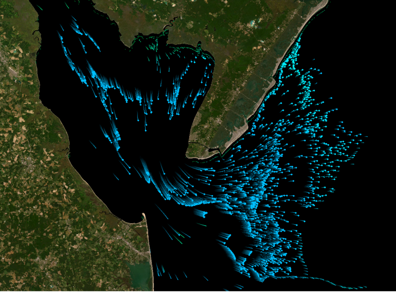
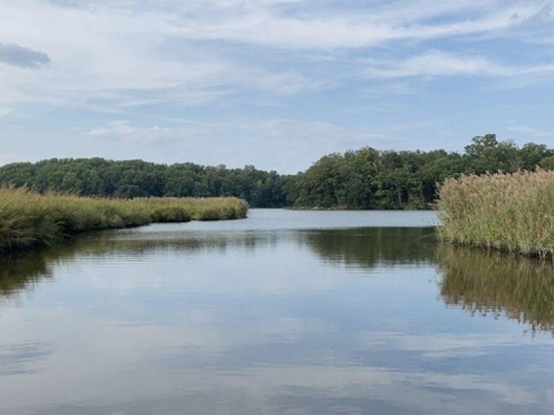
The Coastal Observations, Mechanisms, and Predictions Across Systems and Scales: Field, Measurements, and Experiments project established a network of observational field sites across Chesapeake Bay and western Lake Erie.
To assess the impact of observation period and gauge location, model parameters were learned on scenarios using different chunks of streamflow observations.
PNNL's E-COMP initiative is helping unleash American energy innovation with advanced theories, models, and software tools to better operate power systems that rely heavily on high-speed power electronic control.
This study presents an automated method to detect and classify open- and closed-cell mesoscale cellular convection (MCC) using long-term ground-based radar observations.
PNNL’s year in review includes highlights ranging from advancing soil science to understanding Earth systems, expanding electricity transmission, detecting fentanyl, and applying artificial intelligence to aid scientific discovery.
The National Transmission Planning Study presents several transmission expansion scenarios that would reliably support the growing demand for energy across the nation.
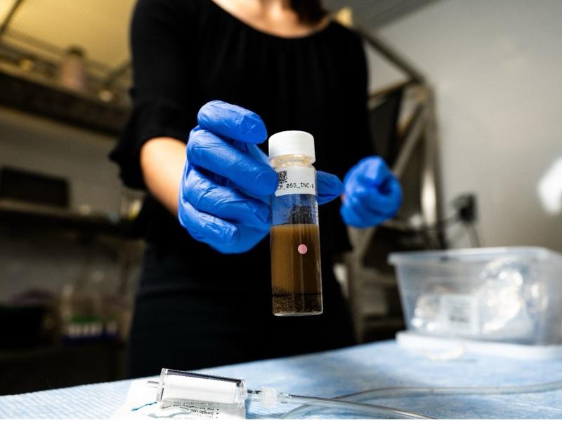
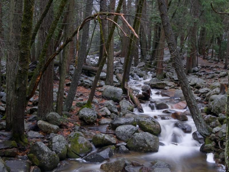
The diversity and function of organic matter in rivers at a large scale are influenced by factors, such as the types of vegetation covering the land, the energy characteristics, and the breakdown potential of the molecules.
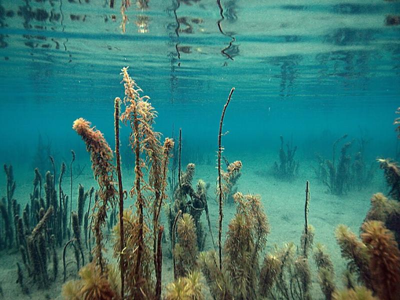
Diefenderfer, Earth scientist who focuses on coastal ecosystems at PNNL, recently published “Ten Years of Gulf Coast Ecosystem Restoration Projects Since the Deepwater Horizon Oil Spill,” a cover article.
Over three days more than 200 federal, state, and tribal partners gathered to evaluate and walk through the Federal Emergency Management Agency (FEMA) Region 10 Cascadia Subduction Zone Earthquake and Tsunami Response Plan.
ICON science is a Department of Energy-developed framework to enhance scientific outcomes via more intentional design of research efforts across all domains of science.