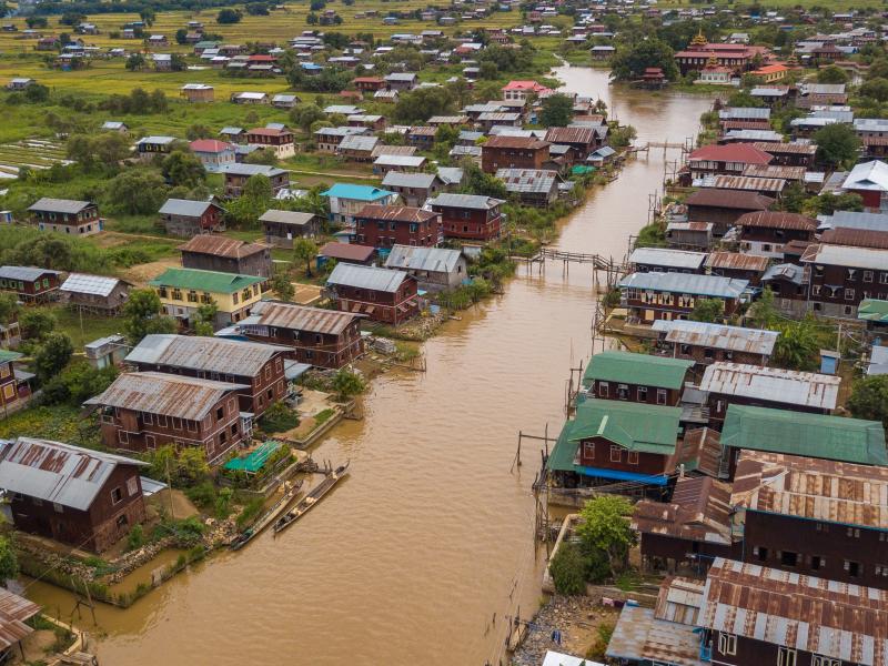
By adding rain, snow, and rain-on-snow precipitation data to a background model, a new scheme pinpoints local flood risks in order to improve the design of small-scale hydrological infrastructure.
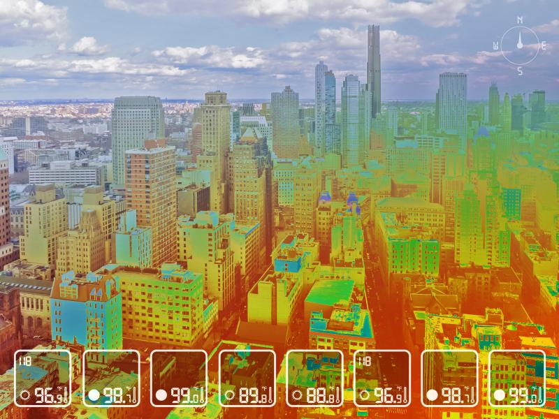
Using a combination of satellite data and modeling to study the temperatures and humidity people might feel in urban areas, researchers have pinpointed who in the U.S. is most vulnerable to heat stress.
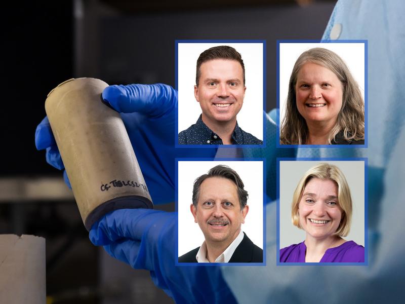
Team brought experience in nuclear waste forms and regulatory policies to the Federally Funded Research and Development Center’s report, which was reviewed by a National Academies’ committee.
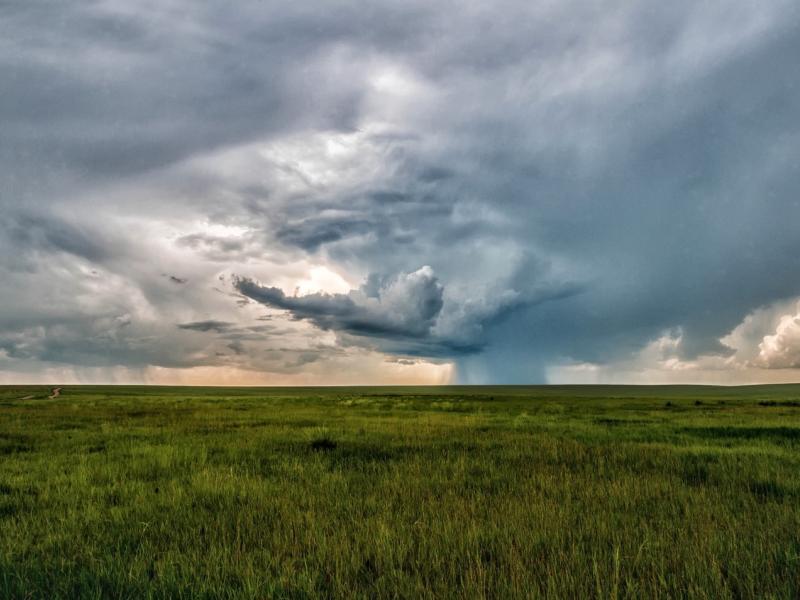
Assessing observed weather conditions that support or suppress the growth of clouds into deep precipitating storms during the Cloud, Aerosol, and Complex Terrain Interactions experiment.