PNNL’s wide-ranging report maps the current nanobiotechnology landscape, flags potential concerns, and details the need for an organizing body to coordinate currently disparate disciplines.
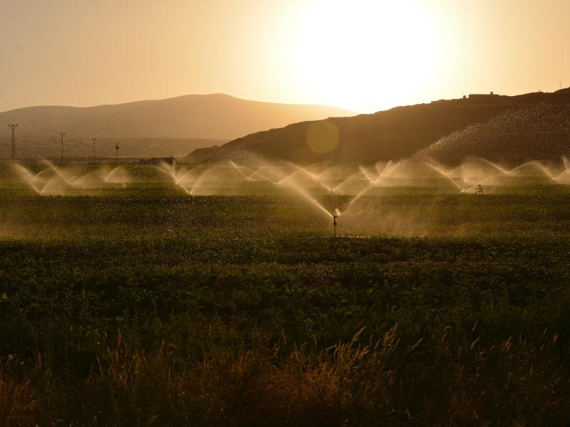
By adding rain, snow, and rain-on-snow precipitation data to a background model, a new scheme pinpoints local flood risks in order to improve the design of small-scale hydrological infrastructure.
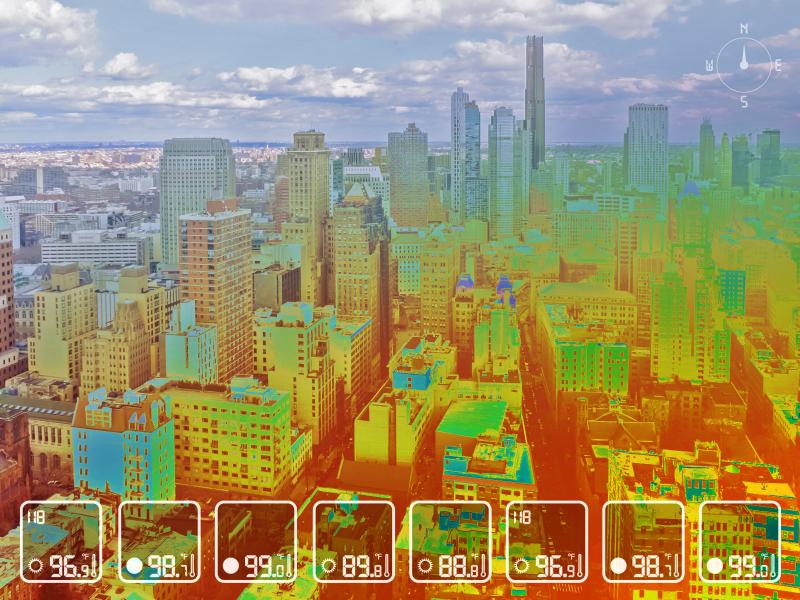
Using a combination of satellite data and modeling to study the temperatures and humidity people might feel in urban areas, researchers have pinpointed who in the U.S. is most vulnerable to heat stress.
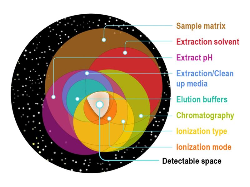
The ChemSpace Tool, when fully developed, is intended to divide chemical space into three subsets: the detectable space, the identifiable space, and the region that includes compounds that are not detectable or identifiable.
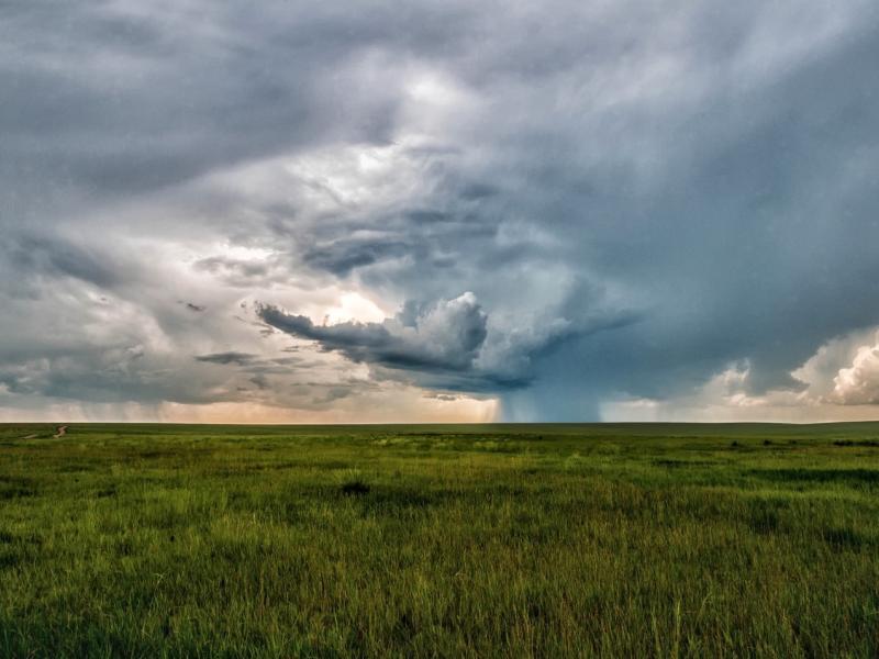
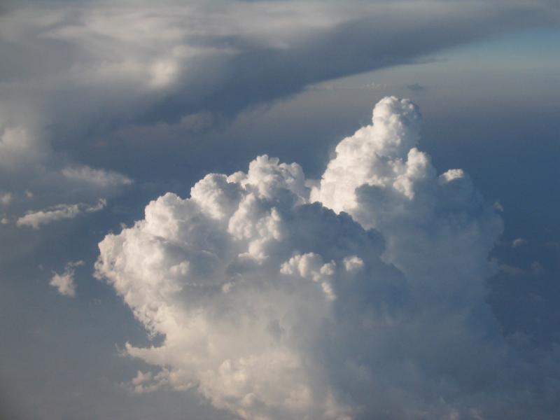
Assessing observed weather conditions that support or suppress the growth of clouds into deep precipitating storms during the Cloud, Aerosol, and Complex Terrain Interactions experiment.