New Universal Model for Multi-Scale Hydrologic Flow Routing
Methods can be used on any mesh system; addresses gap for studying rivers

Researchers have developed a flow-direction model that can be used on any mesh system, which closes the gap on available models for river components.
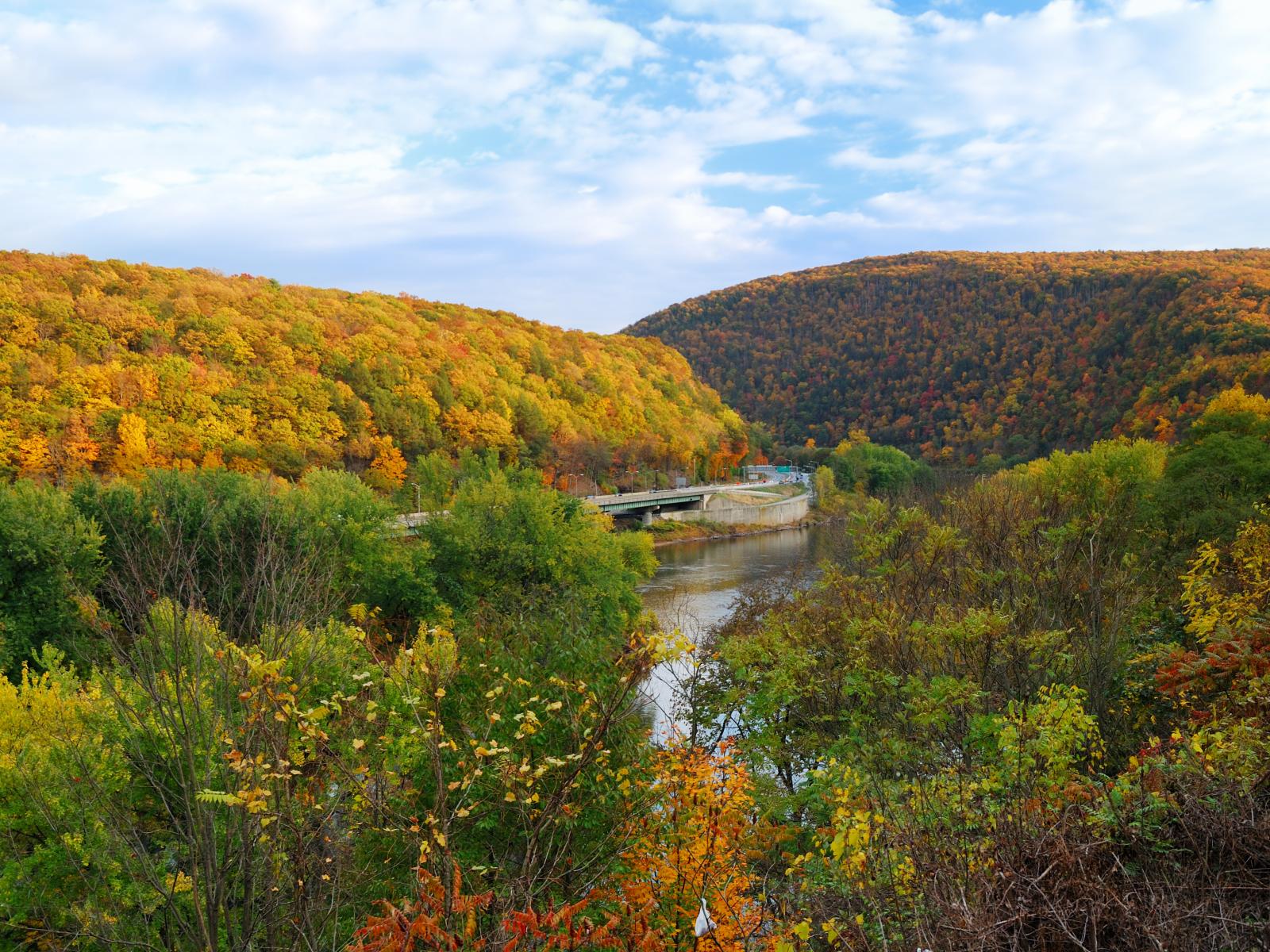
(Image: TravelScape)
The Science
Researchers rely on Earth system models (ESM) to route hydrologic flows on land surfaces. However, existing models only support rectangle mesh systems that do not match real-world hydrologic features, particularly for rivers. These conceptual models prevent researchers from using a unified mesh framework to model hydrologic processes across scales. A team of scientists recently developed a flow direction model which produces high-quality flow routing parameters on any mesh system.
The Impact
Modeling of riverine and associated hydrologic processes depends on the flow routing parameters, which are often produced by the flow direction models. To simulate the land surface flow routing process across different scales, researchers need to define the flow routing parameters, including the flow direction from one cell to another. The newly developed methods define flow routing parameters in any mesh system and allow scientists to identify advanced flow routing processes and interactions regardless of scale. This research closes the gap for supporting river components by enabling the use of all mesh, paving the way for variable resolution mesh-based flow routing in Earth system modeling.
Summary
In this study, the research team expands the capabilities of the HexWatershed model to support both structured and unstructured meshes. This model includes hybrid Python (front-end) and C++11 (back-end) software architecture to streamline simulation. HexWatershed uses a two-step approach to process river cells and their riparian zone land cells using a hybrid breaching filling stream burning algorithm, subsequently simplifying the workflow. In their test cases, the team demonstrated that topological relationship-based stream burning can reduce modification to river and land elevations.
Contacts
Robert Hetland, Pacific Northwest National Laboratory, robert.hetland@pnnl.gov
Chang Liao, Pacific Northwest National Laboratory, chang.liao@pnnl.gov
Funding
This research was funded as part of the multi-program, collaborative Integrated Coastal Modeling (ICoM) project, and the Interdisciplinary Research for Arctic Coastal Environments (InteRFACE) project through the Department of Energy, Office of Science, Biological and Environmental Research program, Earth and Environment Systems Sciences Division, Earth System Model Development program area.
Published: November 27, 2023