New Model Improves Simulations of Wildfire Aerosols and Their Radiative Effects
Researchers use fire intensity data to inform plume-rise model and understand how aerosols travel vertically

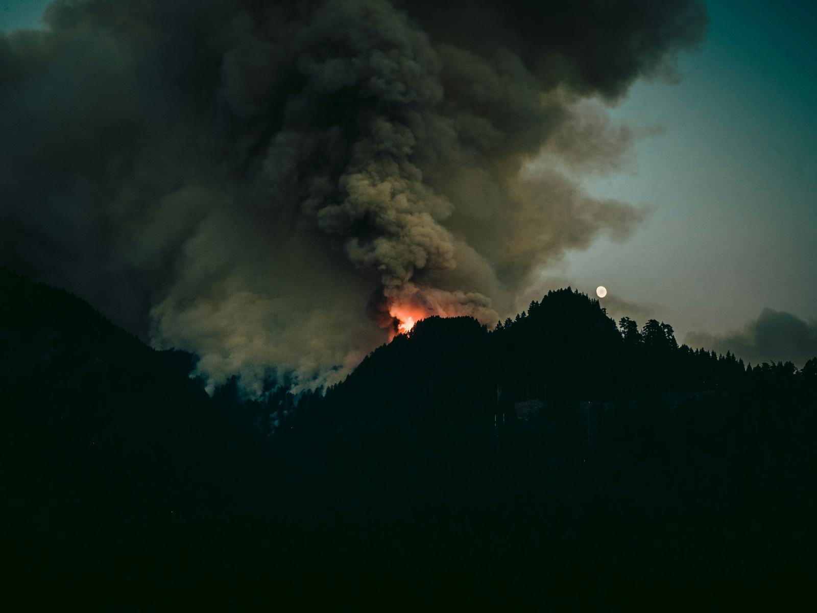
Photo by Luke Flynt | Unsplash
The Science
The more intense a fire, the further biomass-burning aerosols—mostly comprised of organic carbon and black carbon—go into the air, and they have significant effects on the Earth system because they absorb heat and influence cloud properties. The higher they go past clouds, the longer they remain in the atmosphere, producing longer and more widespread effects.
For researchers, the challenge has been simulating how the biomass burning aerosols travel vertically using a global Earth system model with coarse resolution and insufficient process representations. After modifying the model with new information and enhanced computer power, researchers could more accurately predict the lifecycle and impacts of biomass-burning aerosols, including the radiative effects of the aerosols resulting from intense wildfires.
The Impact
In this study, researchers used fire intensity data from satellites to map plume rises—that is, the vertical distribution of aerosols into the atmosphere during a fire.
The more intense the fire, the higher aerosols travel. And the darker the smoke, the more indicative that black carbon aerosols are present. But until now, researchers were unable to accurately model fire plumes in global Earth system models because models didn’t include information about fire intensity, which is key to understanding how high aerosols travel vertically.
Once researchers combined new fire intensity data with the state-of-the-art Energy Exascale Earth System Model (version 1), they compared the results to observations obtained via satellite and aircraft. The result: matching data, confirming the new plume-rise model could accurately track aerosol distribution and therefore help predict impacts on weather and climate. In addition, the information allows researchers to provide a better estimate of the radiative effect of the organic and black carbon aerosols.
Summary
Understanding how biomass burning aerosols travel vertically is important in regulating their impacts on weather and climate. But until now, researchers couldn’t accurately model aerosol distribution because state-of-the-art global Earth system models didn’t account for fire intensity. Instead, they simply assumed the injection heights of biomass burning aerosols around the world.
The more intense a fire, the higher aerosol plumes travel into the atmosphere. And once past the clouds, the biomass burning aerosols last longer and transport farther. They continue to absorb heat and affect the atmosphere at a wider range. Therefore, intensity of a wildfire is a crucial component to mapping aerosol distribution and understanding their impacts.
In this study, researchers paired new fire intensity data from satellites with an existing Earth system model to understand plume rises, resulting in more accurate information about aerosol distribution. Additionally, the data about how high the aerosols traveled allowed researchers to quantify their radiative effects in the atmosphere.
Contact
Po-Lun Ma, Pacific Northwest National Laboratory, Po-Lun.Ma@pnnl.gov
Funding
This study is supported by the Department of Energy Office of Science’s Biological and Environmental Research program as part of the Earth System Model Development program area through the Enabling Aerosol-cloud interactions at GLobal convection-permitting scalES (EAGLES) project.
Published: March 7, 2024
Lu, Z., X. Liu, Z. Ke, K. Zhang, P. -L. Ma, and J. Fan. 2024. “Incorporating an interactive fire plume-rise model in the DOE's energy exascale earth system model version 1 (E3SMv1) and examining aerosol radiative effect.” Journal of Advances in Modeling Earth Systems. 16, e2023MS003818. https://doi.org/10.1029/2023MS003818