The Many Shapes of Reservoirs
Researchers developed a new global data set for better representing reservoirs in Earth system models
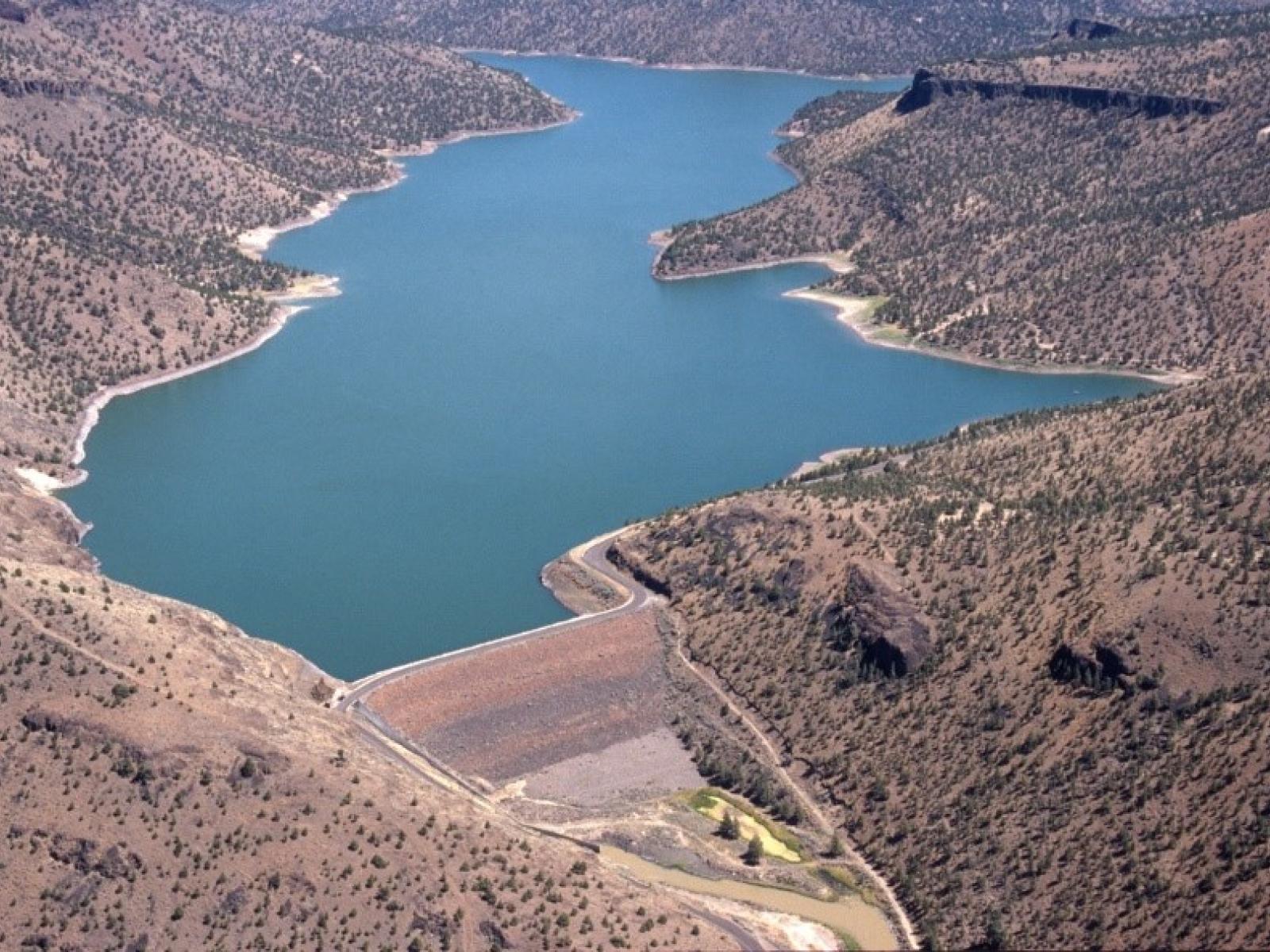
A key challenge in modeling the influence of reservoirs on streamflows and other water cycle processes is accounting for the relationship between reservoir depth, surface area, and storage. By deriving optimal geometric shapes for more than 6,800 reservoirs worldwide, researchers developed a data set that provides more accurate storage-area-depth relationships.
Revised: October 22, 2019 | Published: March 11, 2019
Yigzaw W, H-Y Li, Y Demissie, MI Hejazi, LR Leung, N Voisin, and R Payn. 2018. “A New Global Storage-Area-Depth Data Set for Modeling Reservoirs in Land Surface and Earth System Models.” Water Resources Research 54(12):10,372−10,386, https://doi.org/10.1029/2017WR022040.