The Biodefense Policy Landscape Analysis Tool (B-PLAT), captures and presents a slew of information about U.S. efforts to protect its citizens and others around the world from diverse threats.
The Community Earth atmospheric Data System (CEDS) provides historical surface flux data that are used for general analysis and also for model validation through comparisons with observations.
PNNL’s integrated software systems (FRAMES, MEPAS, MetView, APGEMS, CAPP) allow users to assess the environmental fate and transport of contaminants—and the potential impacts on humans and the environment—in a systematic, holistic approach.
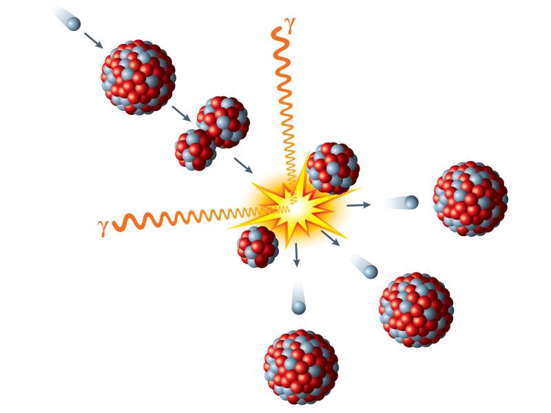
A software suite for working with neutron activation rates measured in a nuclear fission reactor, an accelerator-based neutron source, or any neutron field to determine the neutron flux spectrum using a generalized least-squares approach.
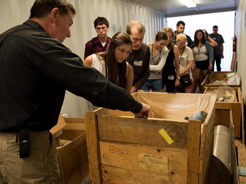
PNNL develops training, exercises, and assessments to prepare and equip border security officers to detect, identify, and interdict the illicit movements of materials, commodities, and components associated with WMD.