Aviation Safety and Regulatory Compliance
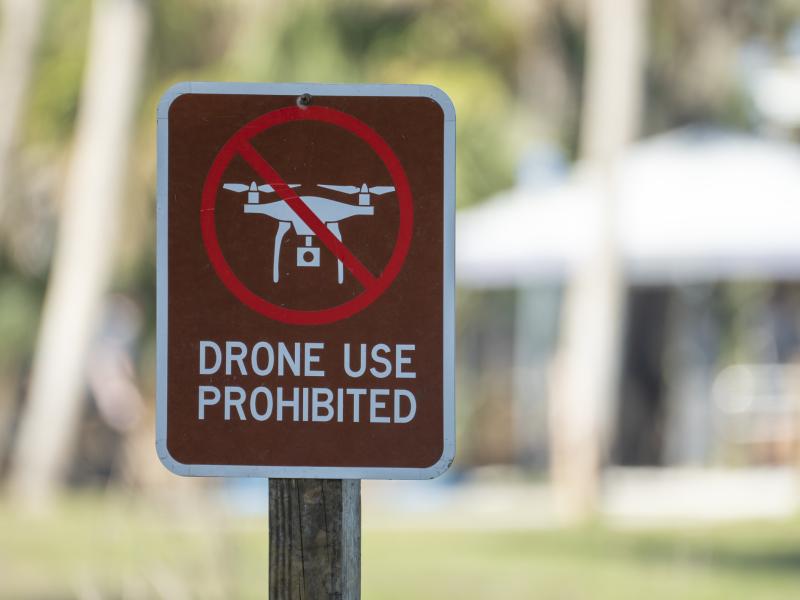
Our commitment to excellence and innovation in drone technology and unmanned systems is anchored by our dedication to aviation safety. Navigating the intricate web of state and federal regulations and Federal Aviation Administration licensing processes can be challenging. Fortunately, PNNL’s expertise fosters compliance with all regulatory requirements. We adhere strictly to the Federal Aviation Administration’s Certificate of Waiver or Authorization protocols, which provide comprehensive risk mitigation strategies and operational parameters. This rigorous approach guarantees the highest safety standards at our operational sites. PNNL has over 1,000 acres of test and operational range across seven parcels of land at five different locations that provide a variety of physical terrains and environments for operating drones. PNNL also maintains a working relationship with the Pendleton Unmanned Aircraft System Range in Oregon and Griffiss International Airport in New York.
PNNL’s multidisciplinary team of engineers, scientists, and unmanned aircraft system (UAS) experts helps projects advance beyond the state-of-the-art while meeting the highest standards of operation and safety. As unmanned aerial vehicle (UAV) and UAS regulations grow more complex, PNNL remains dedicated to providing our sponsors and partners with the confidence that our operations prioritize safety for the public, wildlife, and the environment.
Custom Sensors and UAV Payloads
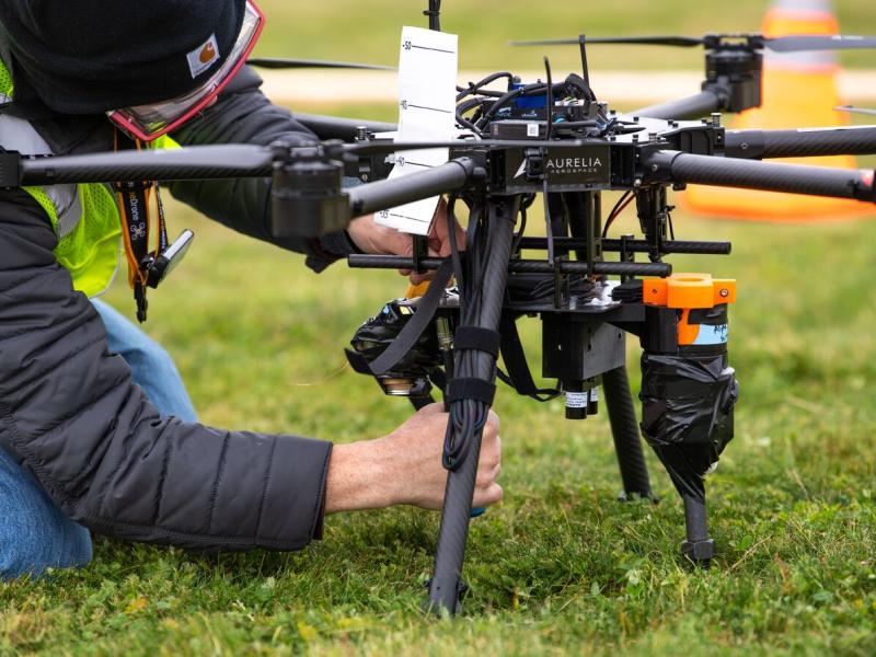
From collecting intertidal imaging of burrowing shrimp in Willapa Bay, WA, to detecting radiation at low-level waste sites across the country, PNNL’s experts have a breadth of experience building custom sensor packages and payloads that detect, collect, monitor, survey, and map data in hazardous or hard-to-reach locations. PNNL’s Robotics and Autonomous Systems Laboratory team applies expert engineering to integrate sensor and functional payloads into drones of varying sizes and builds. Each drone can carry several sensors simultaneously, allowing different types of data to be collected during a single flight and providing a more comprehensive picture of the target site.
Each sensor type offers a unique contribution for data analysis models that can identify and extract object features and classify landscapes with maximum reliability and accuracy. PNNL’s multidisciplinary team can develop highly customizable platforms and payloads to solve even the most challenging data collection projects.
Data Processing, Analysis, and Visualization
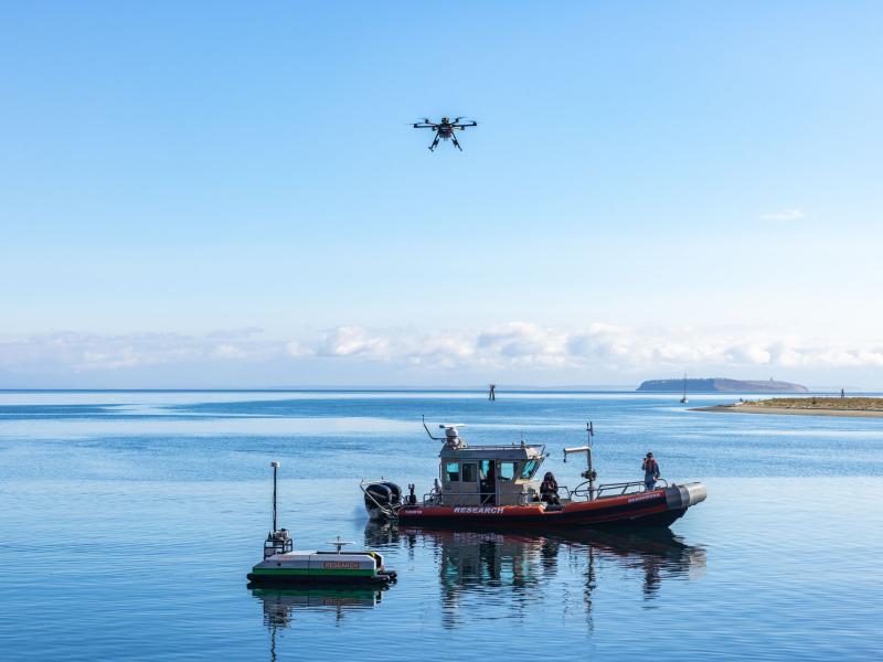
Drones frequently face limitations due to their size, weight, and computing power. To overcome these constraints, PNNL innovates and tests new strategies that use artificial intelligence (AI) to boost overall performance and efficiency. Furthermore, PNNL continuously develops better methods for transferring data between cloud computing and edge devices on UASs and UAVs.
These AI-driven systems are designed to adapt quickly and securely, transforming raw data into critical and real-time insights while in operation, thereby minimizing the amount of data that needs to be transmitted or stored. For example, PNNL helped modernize disaster management by using AI and machine learning to analyze satellite and geospatial data in near real-time, aiding public safety officials and utilities in disaster preparation. This cutting-edge technology not only optimizes UAS/UAV operations but also lays a secure foundation for cloud-to-edge communications in critical national security missions.
Additionally, PNNL uses remote sensing data for waste site subsidence monitoring and disaster prediction, enabling proactive measures to prevent environmental hazards and strengthen public safety. PNNL’s leadership in AI, machine learning, high-performance computing, cloud computing, and visual analytics can transform drones into fully adaptive systems that are able to collect, analyze, and report data on the go.