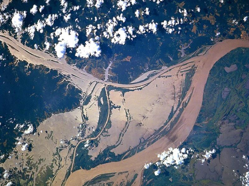
High-resolution hydrodynamic-sediment modeling shows that inundation, suspended sediment concentration in the Amazon River, and floodplain hydrodynamics drive sediment deposition in Amazonian floodplains.
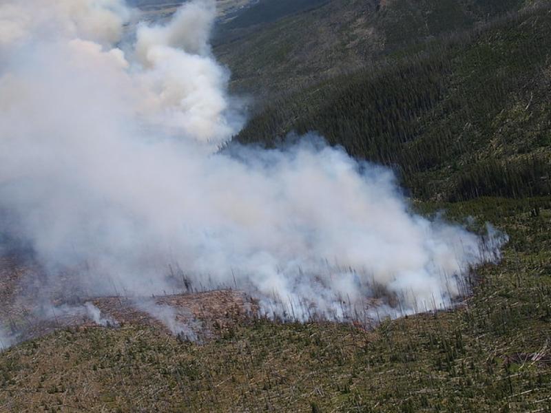
This study used historical data, remote sensing, and aquatic sensors to measure how far wildfire impacts propagated through the watershed after the 2022 Hermit’s Peak/Calf Canyon fire, New Mexico’s largest wildfire in history.
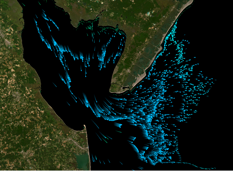
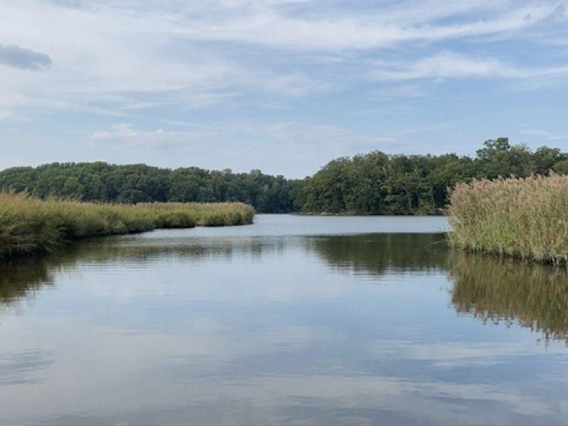
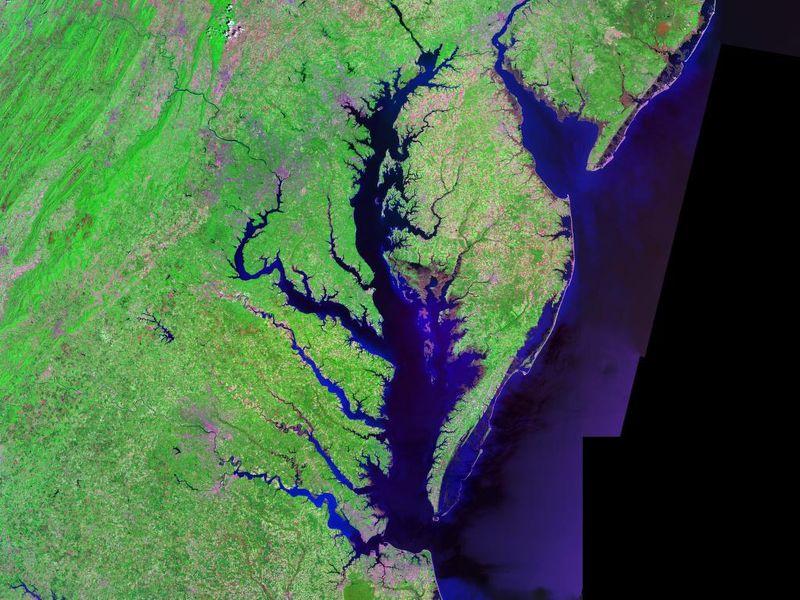
The Coastal Observations, Mechanisms, and Predictions Across Systems and Scales: Field, Measurements, and Experiments project established a network of observational field sites across Chesapeake Bay and western Lake Erie.
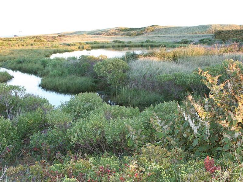
Due to their inherent variability and complexity over space and time, scientists are challenged to understand the complex interactions among soil, vegetation, and water along coastal terrestrial-aquatic interfaces.
This study characterized above- and below-ground properties to explore the spatial heterogeneity of the terrestrial aquatic interface ecosystem within the Chesapeake Bay area and evaluate the major drivers of soil respiration.
To assess the impact of observation period and gauge location, model parameters were learned on scenarios using different chunks of streamflow observations.
PNNL scientist James Stegen and an international team of collaborators recently published a comprehensive review of variably inundated ecosystems (VIEs).
This study presents an automated method to detect and classify open- and closed-cell mesoscale cellular convection (MCC) using long-term ground-based radar observations.
Ampcera has an exclusive licensing agreement with PNNL to commercially develop and license a new battery material for applications such as vehicles and personal electronics.
Backed by $75,000 in Department of Energy funding from the Office of Electricity, a PNNL researcher works to refine solid-state sodium batteries for the grid.
Seawater threatens to intrude into coastal freshwater aquifers that millions of people depend on for drinking water and irrigation. This study investigates sea-level rise impacts on the global coastal groundwater table.
EZBattery Model allows energy storage researchers to more quickly and easily identify the best performing battery designs without the need for extensive physical prototyping or computationally expensive simulations.
New datasets delineating global urban land support scientific research, application, and policy, but they can produce different results when applied to the same problem making it difficult for researchers to decide which to use.