Distributed science is thriving at PNNL, where scientists share data and collaborate with researchers around the world to increase the impact of the work.
Researchers at PNNL shared advances in artificial intelligence, cybersecurity, advanced imaging, and more at the Department of Homeland Security Research, Development, Test, and Evaluation Summit.
The ability of a storm-resolving weather model to predict the growth of storms over central Argentina was evaluated with data from the Clouds, Aerosols, and Complex Terrain Interactions (CACTI) field campaign in central Argentina.
PNNL recently hosted a training exercise that immersed the U.S. Coast Guard 2013 Cyber Protection Team in a lifelike simulation of a cyberattack on a U.S. port terminal.
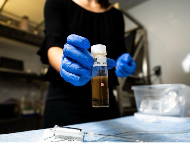
Researchers from PNNL and Parallel Works, Inc., applied machine learning methods to predict how much oxygen and nutrients are used by microorganisms in river sediments.
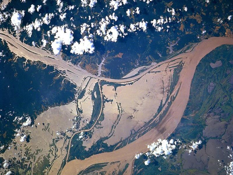
High-resolution hydrodynamic-sediment modeling shows that inundation, suspended sediment concentration in the Amazon River, and floodplain hydrodynamics drive sediment deposition in Amazonian floodplains.
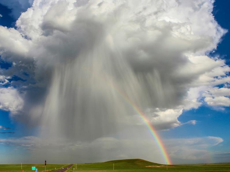
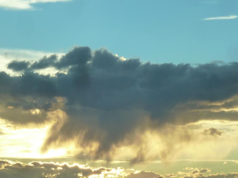
The rate of conversion of cloud droplets to precipitation, known as the autoconversion rate, remains a major source of uncertainty in characterizing aerosol’s cloud lifetime effects and precipitation in global and regional models.
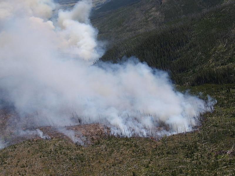
This study used historical data, remote sensing, and aquatic sensors to measure how far wildfire impacts propagated through the watershed after the 2022 Hermit’s Peak/Calf Canyon fire, New Mexico’s largest wildfire in history.
To assess the impact of observation period and gauge location, model parameters were learned on scenarios using different chunks of streamflow observations.
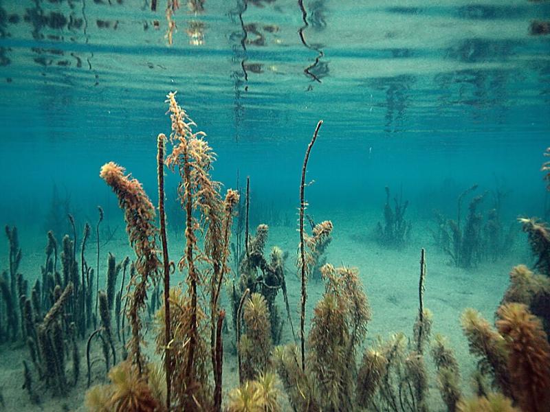
PNNL scientist James Stegen and an international team of collaborators recently published a comprehensive review of variably inundated ecosystems (VIEs).
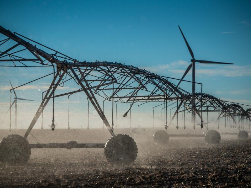
PNNL's E-COMP initiative is helping unleash American energy innovation with advanced theories, models, and software tools to better operate power systems that rely heavily on high-speed power electronic control.
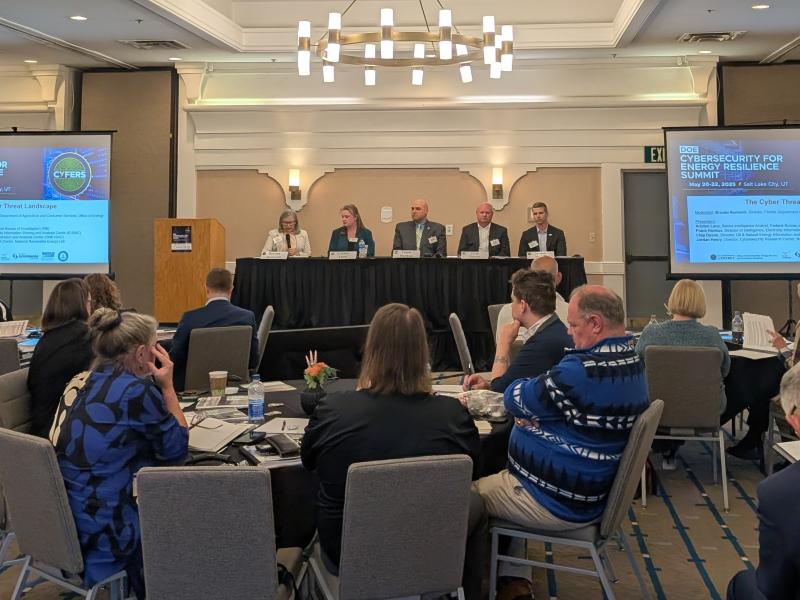
CESER and PNNL convened a three-day summit with more than 100 state officials, cybersecurity experts, and industry leaders across 35 states to advance energy security planning, cyber risk assessment, and fortify protections against attacks.
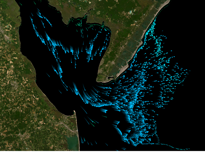
This study presents an automated method to detect and classify open- and closed-cell mesoscale cellular convection (MCC) using long-term ground-based radar observations.