The Community Earth atmospheric Data System (CEDS) provides historical surface flux data that are used for general analysis and also for model validation through comparisons with observations.
IrrigationViz is a visual decision-support tool that provides users with high-level estimates for irrigation modernization projects, such as concrete lining for a canal or replacing a canal with a pipeline.
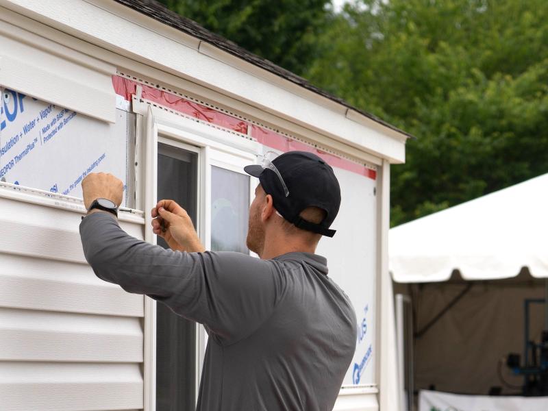
Poorly insulated walls in residential buildings waste an estimated quadrillion+ Btus of energy per year. Upgrading windows and insulation during re-siding projects is a unique, cost-effective opportunity to improve efficiency and comfort.