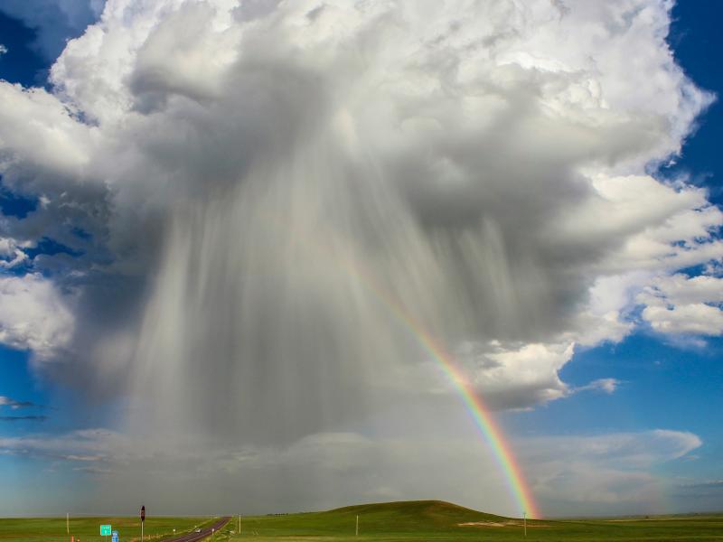
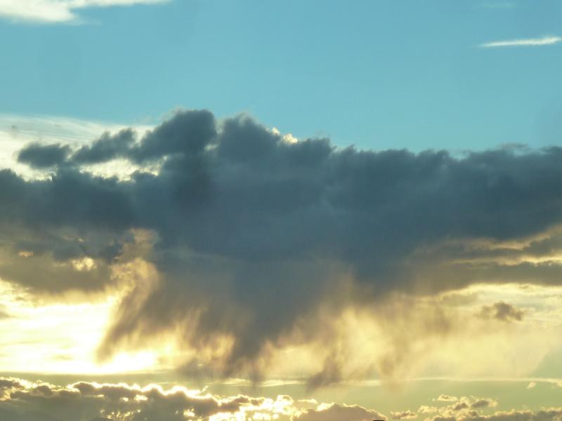
The rate of conversion of cloud droplets to precipitation, known as the autoconversion rate, remains a major source of uncertainty in characterizing aerosol’s cloud lifetime effects and precipitation in global and regional models.
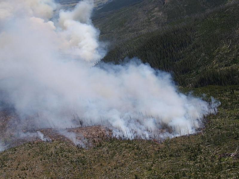
This study used historical data, remote sensing, and aquatic sensors to measure how far wildfire impacts propagated through the watershed after the 2022 Hermit’s Peak/Calf Canyon fire, New Mexico’s largest wildfire in history.
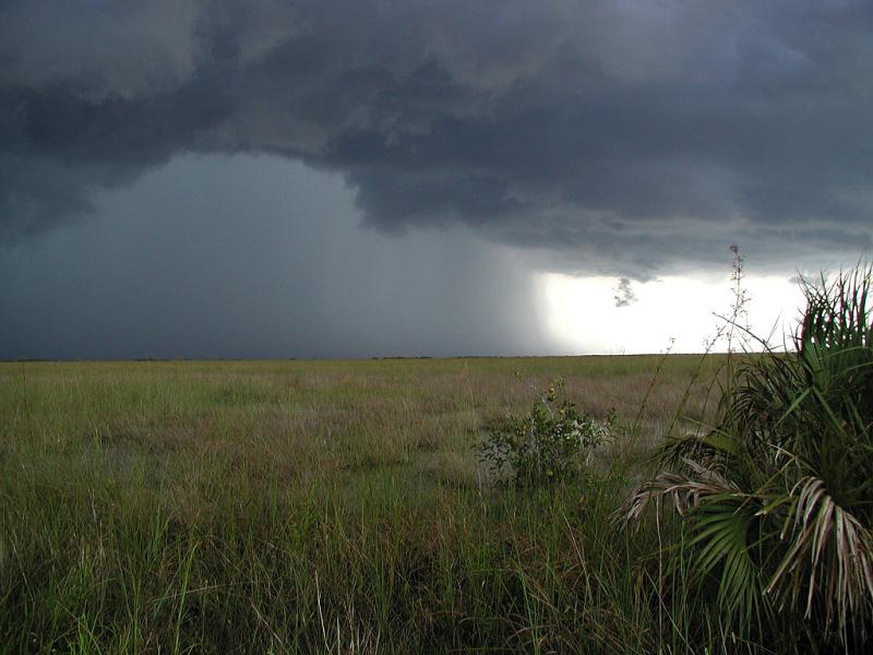
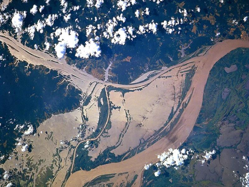
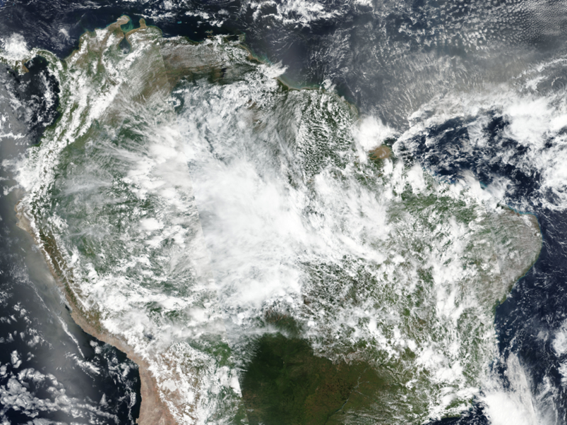
The prediction of rainfall over the Amazon rainforest by weather and climate models is highly uncertain, particularly for large rainstorms which are commonly seen during the wet season, from March to May.
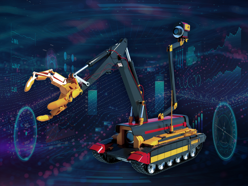
Two new publications provide emergency response agencies with critical insights into commercially available unmanned ground vehicles used for hazardous materials response.
Extensive in situ and remote sensing measurements were collected to address data gaps and better understand the interactions of convective clouds and the surrounding environment.
To assess the impact of observation period and gauge location, model parameters were learned on scenarios using different chunks of streamflow observations.
Jonathan Barr, senior systems engineer at PNNL, was recently invited to co-present on a panel at the Texas Department of Emergency Management Annual Conference.
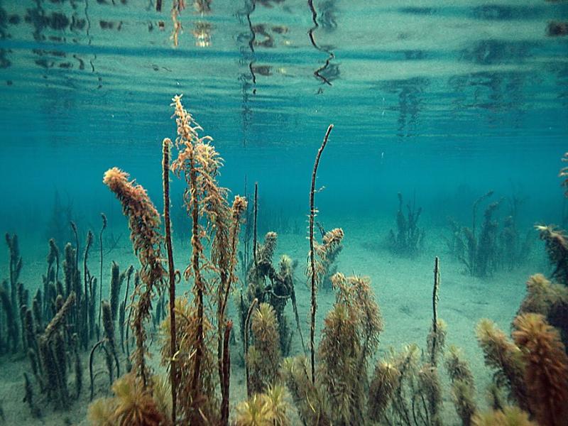
PNNL scientist James Stegen and an international team of collaborators recently published a comprehensive review of variably inundated ecosystems (VIEs).
This study presents an automated method to detect and classify open- and closed-cell mesoscale cellular convection (MCC) using long-term ground-based radar observations.
The Wildfire Mitigation Plan Database was built to support electric utilities, state governments, policymakers, and regulators in understanding and improving wildfire risk and resilience strategies.
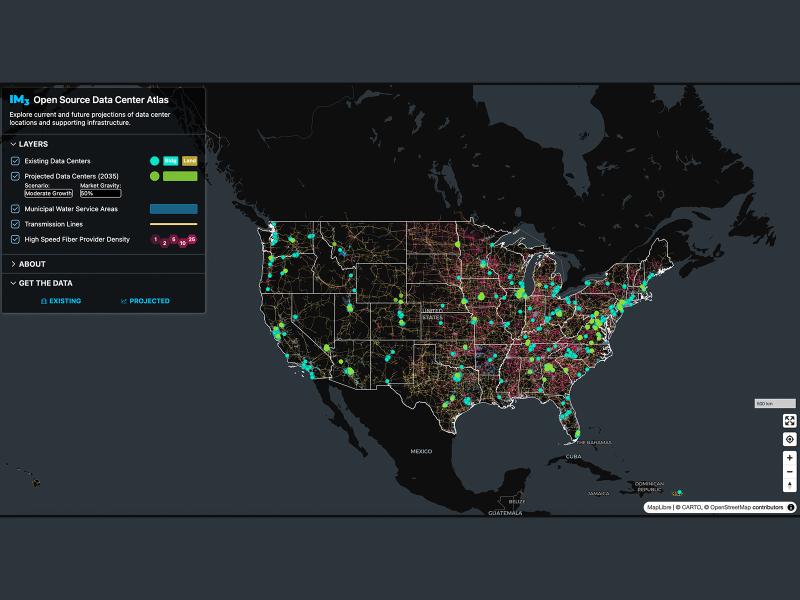
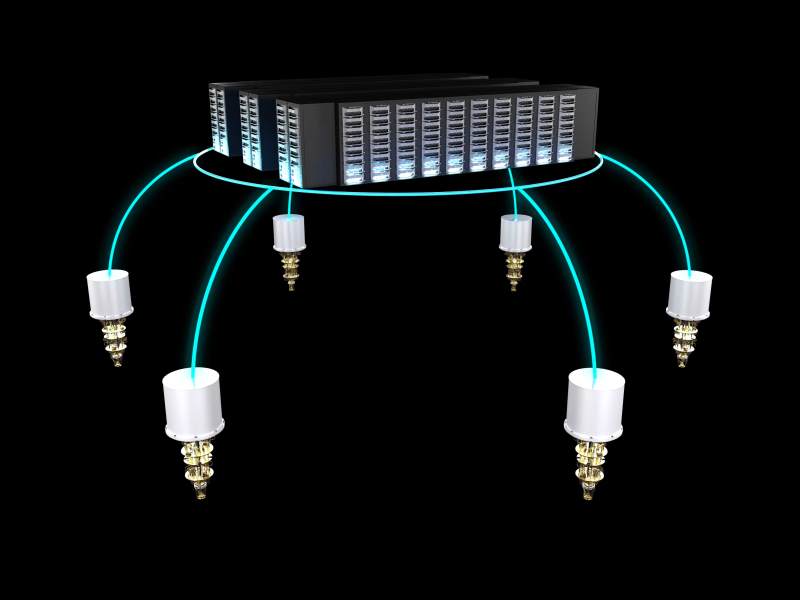
The Center for Continuum Computing at PNNL aims to integrate cloud platforms, high-performance computing, and edge devices into a seamless ecosystem that accelerates scientific discovery.
Seawater threatens to intrude into coastal freshwater aquifers that millions of people depend on for drinking water and irrigation. This study investigates sea-level rise impacts on the global coastal groundwater table.
New datasets delineating global urban land support scientific research, application, and policy, but they can produce different results when applied to the same problem making it difficult for researchers to decide which to use.
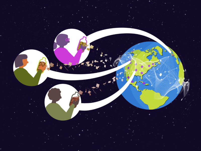
A tethered balloon system was used at the Southern Great Plains atmospheric observatory in Oklahoma to collect atmospheric particles from ground and aloft levels. Samples were later analyzed for their organic molecular composition.