Satellite Observations Highlight Inaccuracies in How Climate Models Represent Dust
Satellite observations provide insight into processes that control the spatial distributions of dust in global climate models

Satellite data highlights the importance of correctly representing dust emissions, dry/wet deposition, and particle size distribution in global climate models.
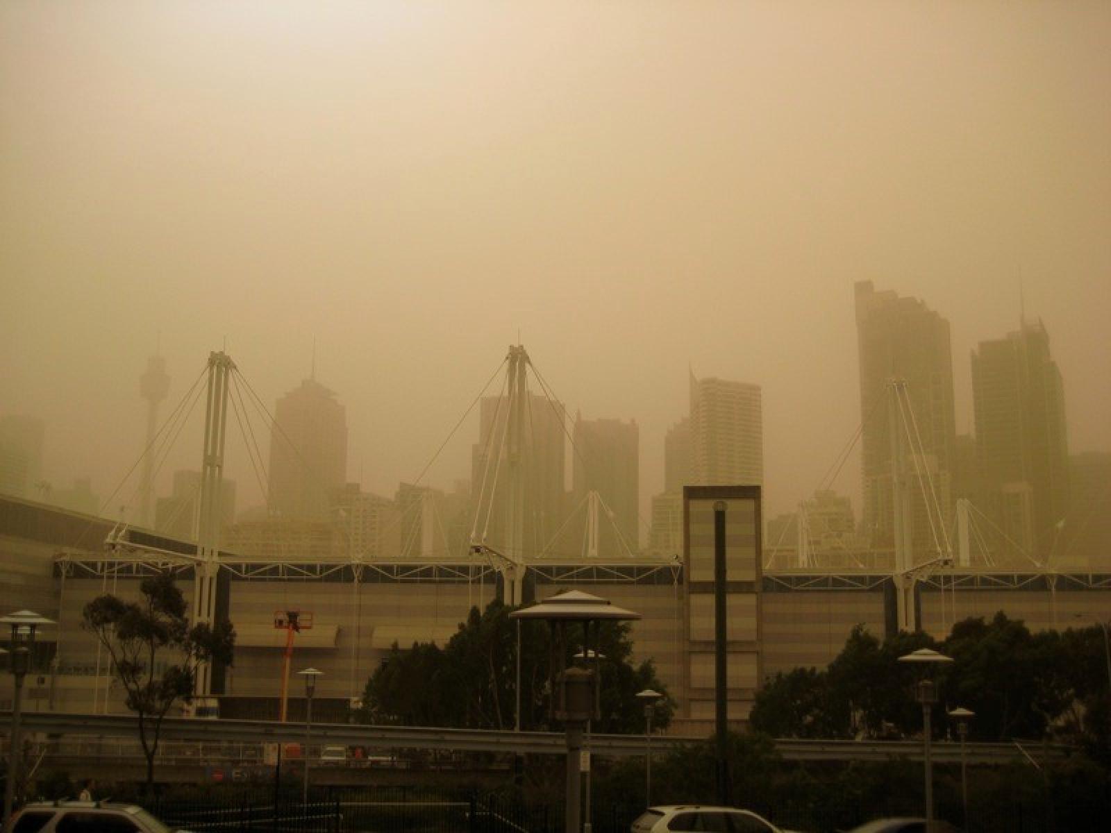
(Image by Thomas Wanhoff | Flickr.com)
The Science
Dust is an important aerosol affecting many components of the Earth’s climate system (e.g., clouds, energy budget, snowpack, sea ice, glacier, rain forests, and oceans) at local and global scales. However, representations of its emission from deserts, atmospheric transport, and removal processes in global climate models (GCMs) are highly uncertain. Scientists used a variety of data based on satellite measurements to characterize dust concentrations, loading, and spatial distributions as a basis for comparing the output of three GCMs to those observations. Using this approach, researchers found deficiencies in how GCMs simulate/parameterize dust emission, dry/wet deposition, and particle size distribution.
The Impact
Researchers found that all studied GCMs, including the U.S. Department of Energy’s Energy Exascale Earth System Model (E3SM), underestimate the long-range transport of dust from its sources to remote regions due to their inaccurate representations of dust aerosol processes. The results highlight the importance of correctly representing dust emissions, dry/wet deposition, and particle size distribution in GCMs. They found large disagreements in dust loading and spatial distributions among the different satellite datasets. This makes evaluating global dust modeling challenging and suggests researchers need multiple observation sources to validate the development of new dust representations in Earth system models.
Summary
Researchers analyzed the distribution of dust in space and time measured from three different satellite sensors, along with observations from surface sites all over the globe. They used these observations to evaluate variations in how dust absorbs and scatters light, including dust extinction profiles and dust optical depth, simulated by the Community Earth System Model version 1 (CESM1) and version 2 (CESM2), E3SM version 1(E3SMv1), and the MERRA-2 reanalysis. The overall accuracy of representing dust emissions, particle size distribution, and dry/wet deposition processes is critical for enabling GCMs to correctly simulate dust spatiotemporal distributions. CESM1, CESM2, and E3SMv1 underestimate dust transport from its sources to remote regions. E3SMv1 better simulates long-range dust transport and dust optical depth in the Northern Hemisphere than CESM1 and CESM2 because it models a higher fraction of the total dust mass as smaller particles. Large disagreements found among the satellite data make evaluating dust spatial distributions challenging. This study suggests the necessity for multiple observational sources to identify model deficiencies and validate aerosol representations in Earth system models.
PNNL Contact
Ruby Leung, Pacific Northwest National Laboratory, Ruby.Leung@pnnl.gov
Funding
This work is supported by NASA CloudSat and CALIPSO Science Program (grant NNX16AO94G/80NSSC20K0952) and the U.S. Department of Energy, Office of Science, Biological and Environmental Research program, and the Earth and Environmental System Modeling program as part of the E3SM project.
Published: January 29, 2021
M. Wu, et al., “Understanding processes that control dust spatial distributions with global climate models and satellite observations.” Atmospheric Chemistry and Physics, 20, 13835-13855, (2020). [DOI: 10.5194/acp-20-13835-2020]