IrrigationViz is a visual decision-support tool that provides users with high-level estimates for irrigation modernization projects, such as concrete lining for a canal or replacing a canal with a pipeline.
The Joint Global Change Research Institute conducts research to advance fundamental understanding of human and Earth systems and provide decision-relevant information for management of emerging global risks and opportunities.
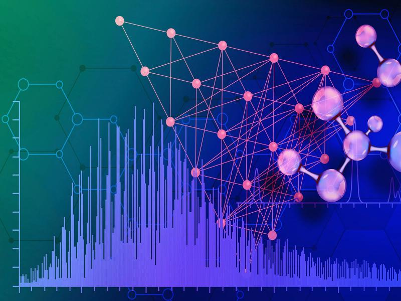
PNNL is heavily engaged in the development and use of mass spectrometry technology across its science, energy, and security missions, from fundamental research through mature operational capabilities.
PNNL is a testbed for the latest research and technologies in marine carbon dioxide removal (mCDR)—leveraging the ocean’s strength as a natural carbon sink to address pressing climate concerns.
Advancing the understanding and monitoring of nuclear material processing to accelerate development and qualification of new material systems for national security and nuclear energy.
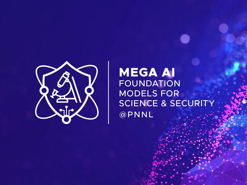
Mega AI seeks to develop massive-scale, self-supervised, multimodal foundation models of scientific knowledge capable of general-purpose inferences to enable reasoning with existing knowledge and discovery of new knowledge.
The Molecular Observation Network is a national open science network designed to produce a comprehensive database of molecular and microstructural information on soil, water, microbial communities, and biogenic emissions.
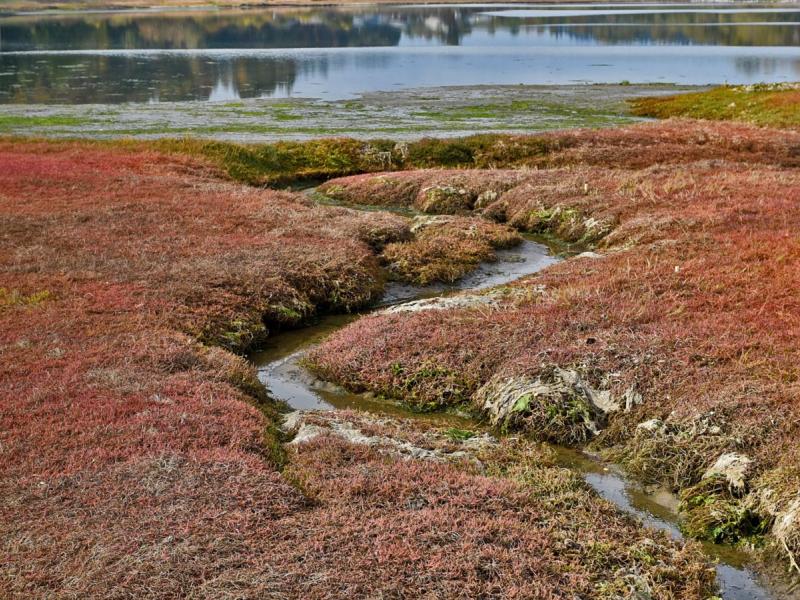
PNNL's Ocean Dynamics Modeling group studies coastal processes such as marine-hydrokinetic energy, coastal circulations, storm surge and extreme waves, tsunamis, sediment transport and nutrient-macroalgal dynamics.
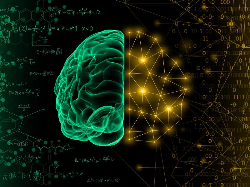
Physics-informed machine learning (PIML) is a modeling approach that harnesses the power of machine learning and big data to improve the understanding of coupled, dynamic systems.
PNNL data scientists and engineers will be presenting at NeurIPS, the Thirty Fourth Conference on Neural Information Processing Systems, and the co-located Women in Machine Learning workshop, WiML.
PREPARES demonstrates linkages between climate or weather conditions and human domain systems by combining quantitative geophysical data with qualitative data.
The user-friendly Project Schedule Visualizer software developed at PNNL helps users readily identify and understand the impacts of updates to the schedule, budget, and risks associated with large, complex projects that cross departments.
PNNL combines AI and cloud computing with damage assessment tools to predict the path of wildfires and quickly evaluate the impact of natural disasters, giving first responders an upper hand.
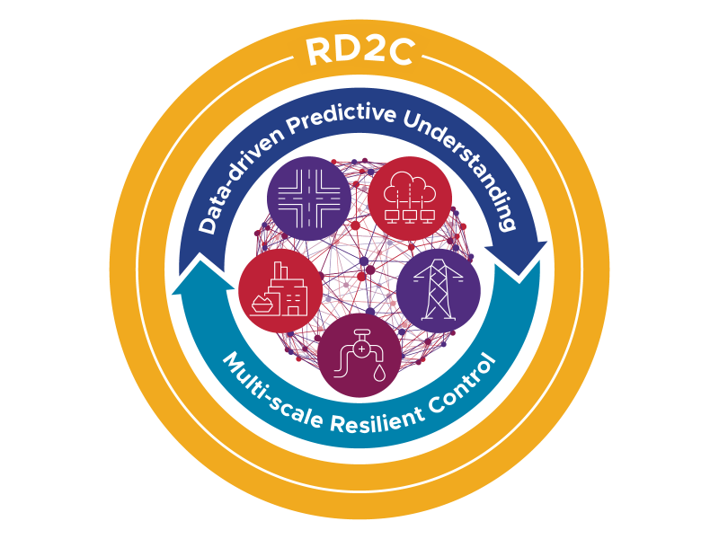
The RD2C laboratory-directed research initiative seeks to develop resilient, adaptive, and intelligent sensing and control algorithms through the observational understanding and characterization of CPSs under adverse conditions.